


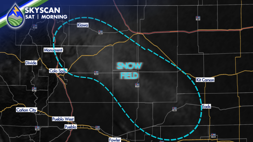
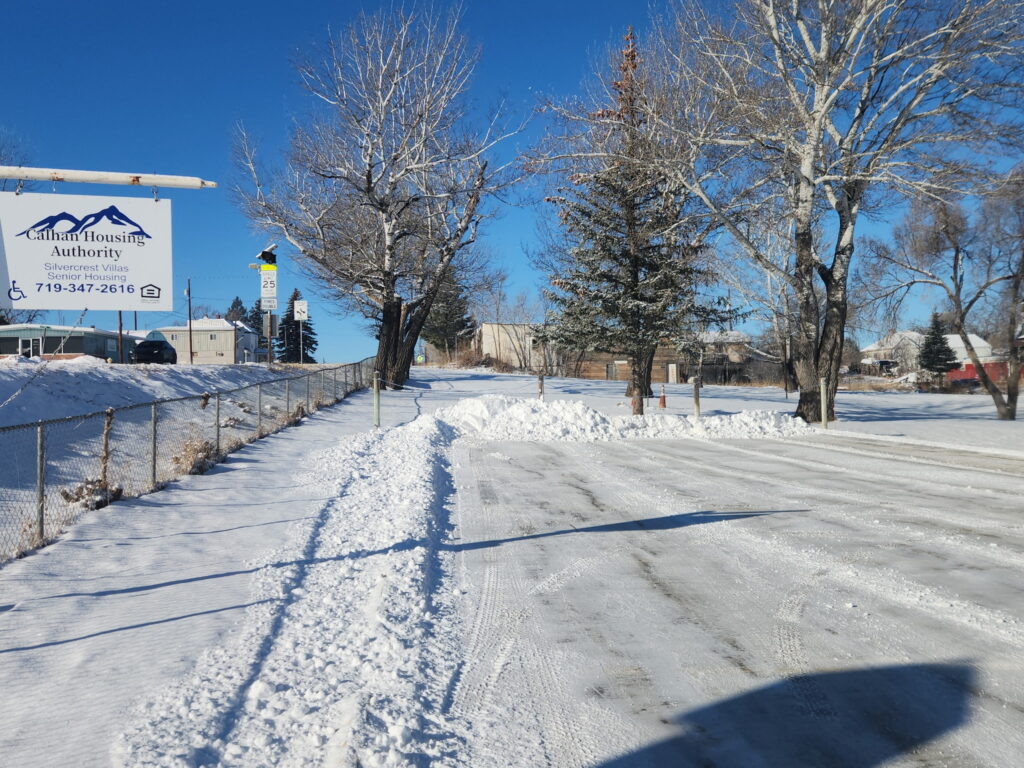
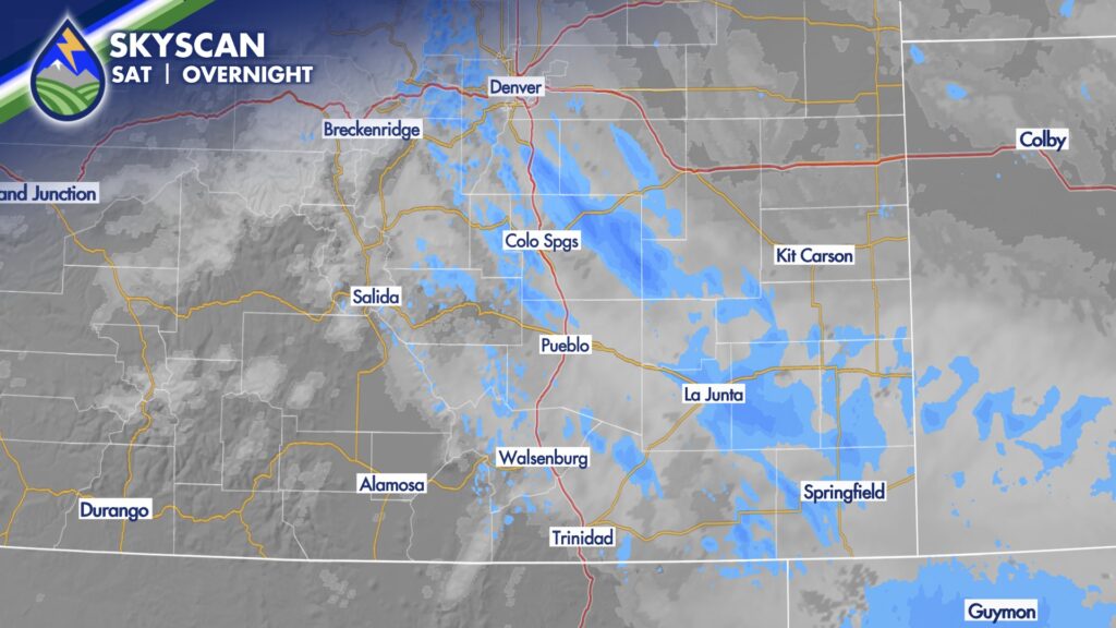
The front that came through early Saturday morning produced some bands of snow over the area. It wasn’t much in most cases, but I did get a report of an inch in Calhan. You can see the snow on visible satellite since the clouds have moved off to the south.
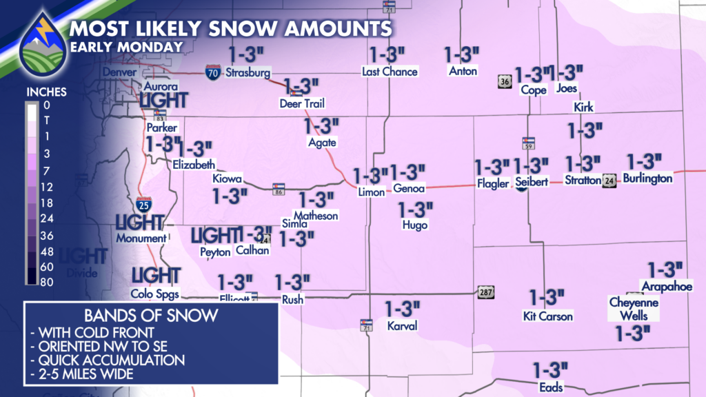
The next front early Monday may do something very similar. While the idea is right in the SkyCast image, reality may end up looking more smaller scale, localized band like what happened this morning.
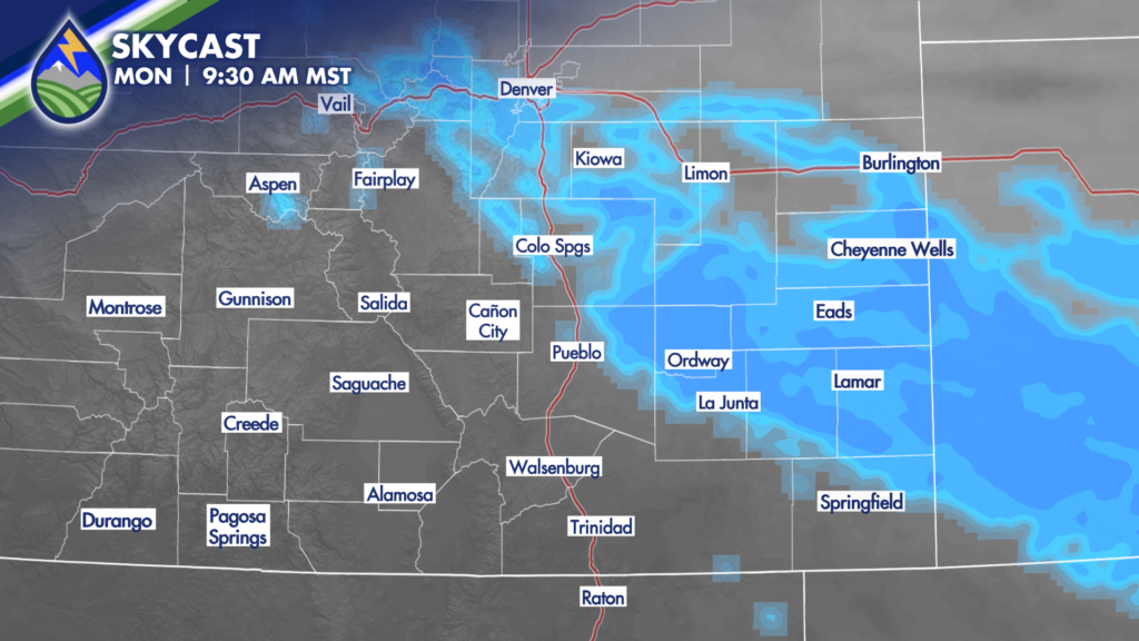
Parts of El Paso County, certainly the Palmer Divide, and areas of the plains north of US Highway 50 could get a quick burst of snow early Monday.
I’ll have more the next couple of days!


