







WHICH TEAM ARE YOU ON? Storm or no storm?
Looking through February the middle part of the month looks most interesting if you are on team “storm.”
I’m showing you model ensemble means here for the middle of the month, specifically the wind flow in the middle of the atmosphere (we approximate this flow through geoptontial height) and the Anomaly of the ensemble mean of this geopotential height over 5 days. Here’s what these specific maps are showing and why it’s important because I know all of that means nothing to you.
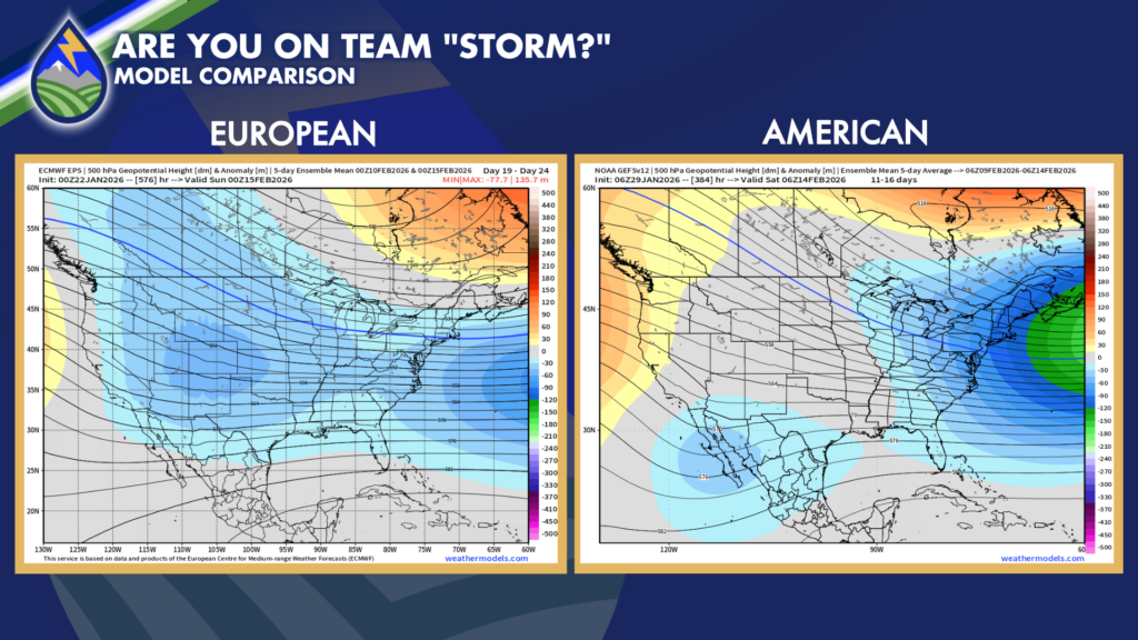
See how both models in this Feb 10th-14th/15th time frame DON’T have yellows and oranges over the US but DO have varying levels of blue? That indicates that out of all of the model runs within the ensemble and taking the average of them, the geopotential height lines over the US are likely to be LOWER than they usually are that time of year. That usually coincides with troughs (storms) in the middle level of the atmosphere and colder than normal weather.
With the general pattern of still a ridge in the west and a trough in the east, we’re likely to see some cold/perhaps arctic air heading straight south out of Canada again somewhere in this middle of February time frame.
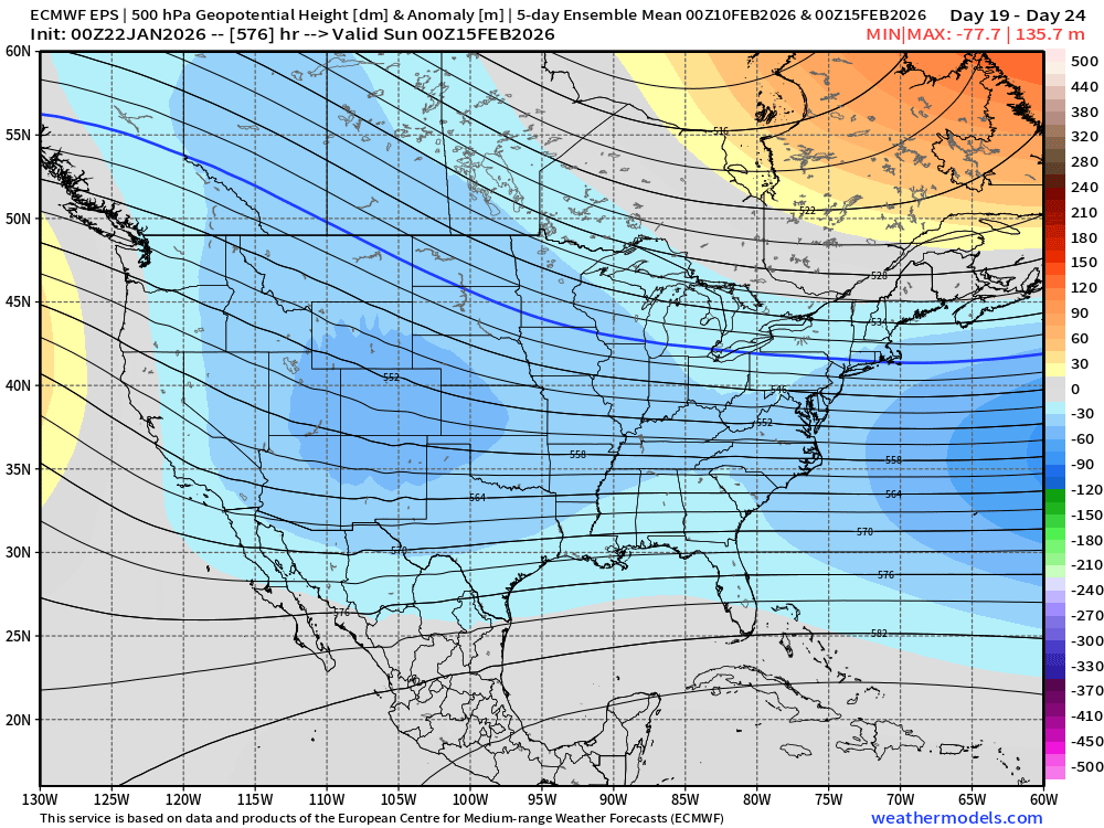
The European ensemble mean in particular would bring a better chance of the heart of an upper-level storm moving through the neighborhood and better chances of a moderate to perhaps strong type snow storm.
I’ve been watching this for about a week now, so I though it was worth mentioning.
Are you on team storm or no storm?






