







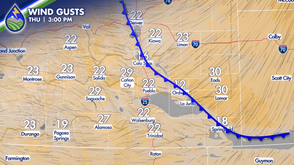
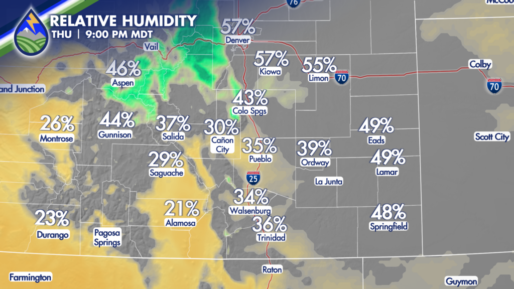
The front keeps pushing west this evening and temperatures will continue to drop….we’ll maintain an outside chance of a gusty type thunderstorm for the next couple of hours as the front backs in and a really subtle upper-level wave moves through…localized enhanced wind gusts with any that can form…but as temps drop overnight clouds will lower and humidity levels rise dramatically.
CLOUDS/DRIZZLE/SNOW
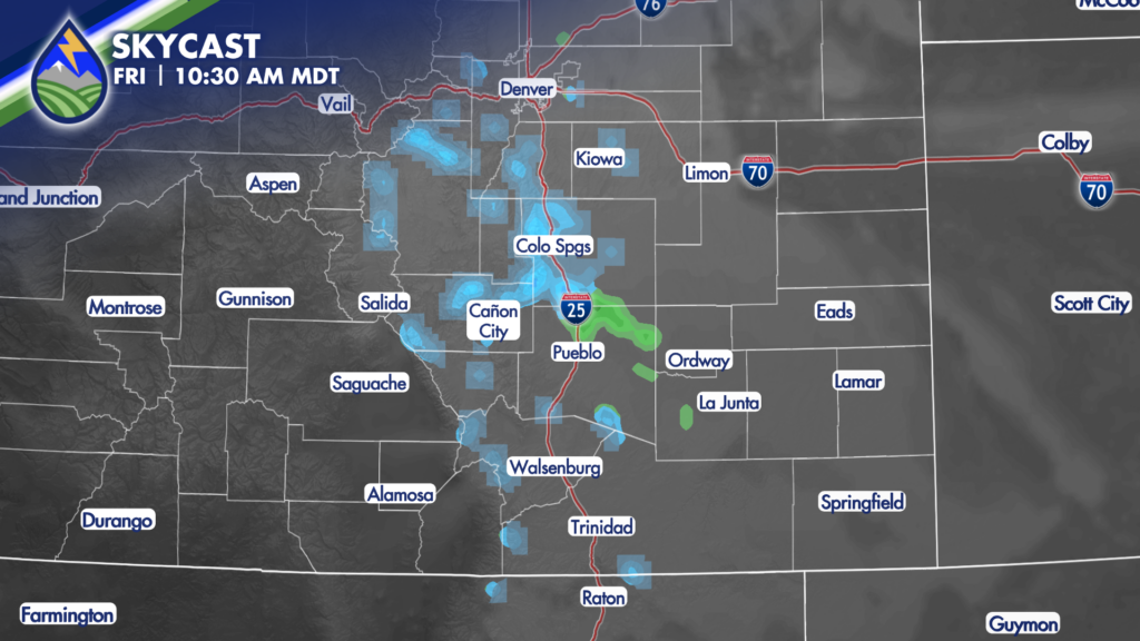
Yep, it’s all on the table Friday morning behind the cold front that’s moving in over the plains right now. We’ll see clouds develop and lower overnight as the colder air keeps pushing in from the northeast and there may be some patchy fog that develops early Friday morning prior to sunrise, especially against the southern slopes of the Palmer Divide in El Paso County and against the eastern edge of the Rockies. As the sun comes up tomorrow and the boundary layer expands just a little bit, that enhances the terrain lift and drizzle, and light snow are possible! GREAT NEWS for not just the change, but I’m hopeful we can get some on the #24Fire too!
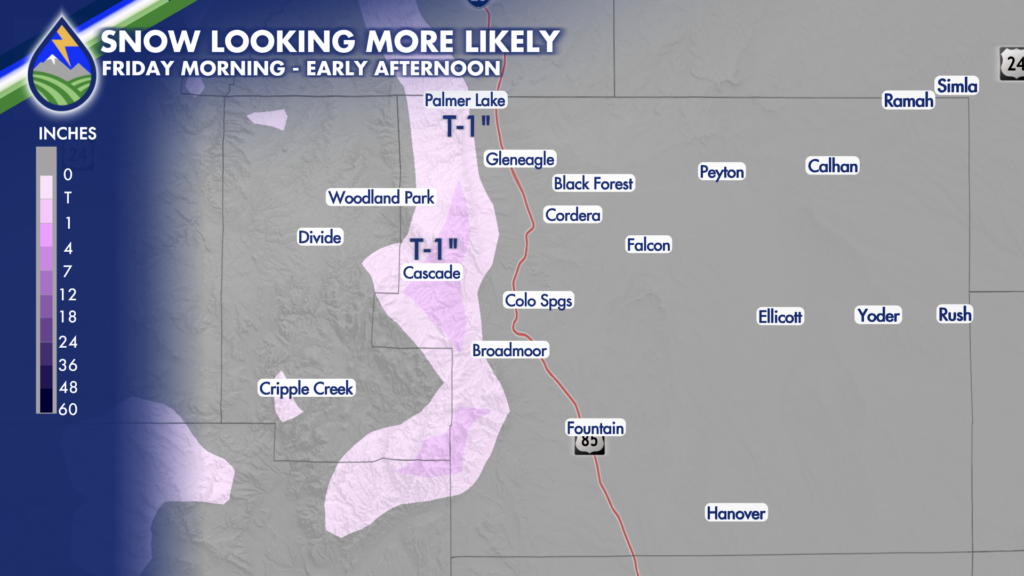
Greatest chance of some accumulation will be right up against the biggest elevation changes on the southeast slopes of Pikes Peak, up highway 24 between Colorado Springs and Woodland Park and on the Rampart Range…I’ll put Monument Hill, Woodmoor, Black Forest and northern Colorado Springs in there too for maybe a dusting. A better chance of a 1/2″ or inch where it’s indicated on the map though.
WHAT A NEEDED CHANGE!






