







NEXT WEEK’S STORM: Confidence in a storm moving through the area next week is high because not only do I see it in the individual model runs (deterministic), but there is a strong signal in the ensembles, too.
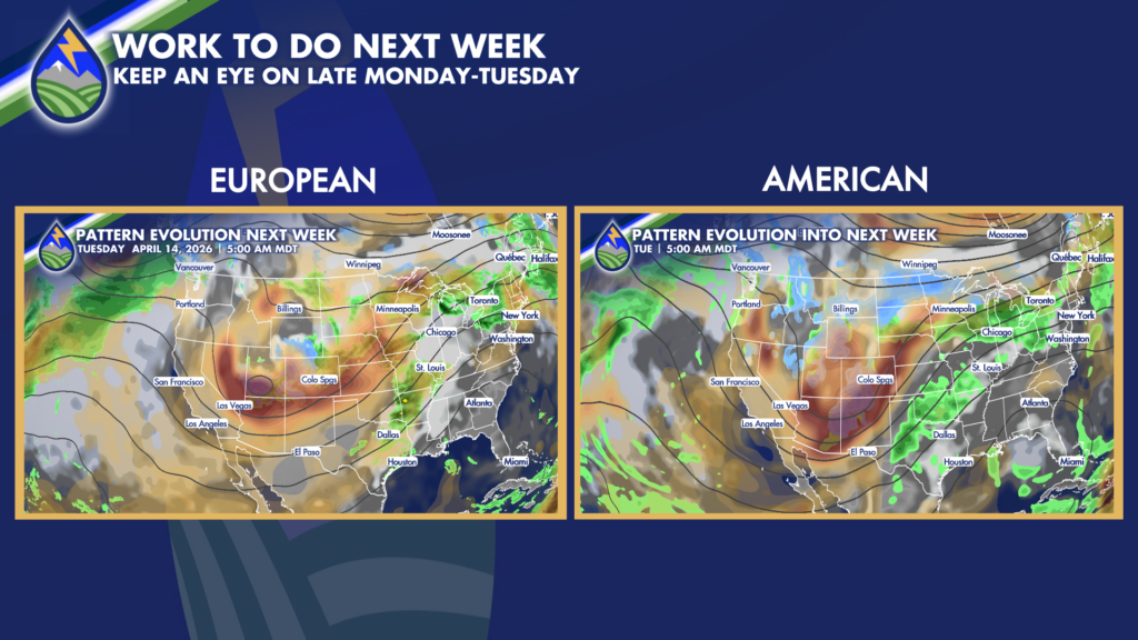
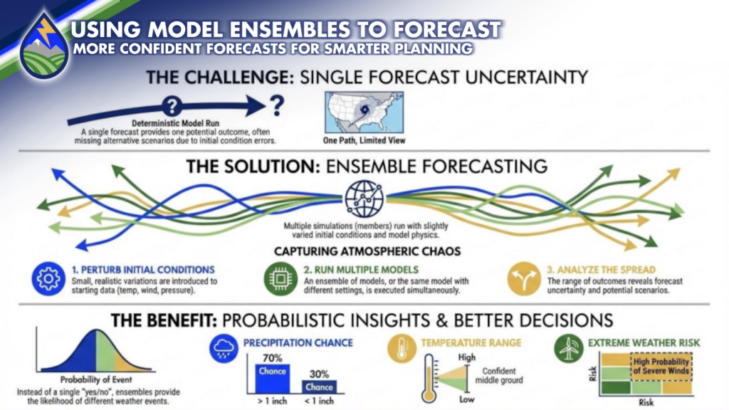
Here’s the difference. A deterministic model is one run of one set of initial conditions. Think of it as just a “yes” or “no” for certain conditions at a certain location at a certain point in time. You’ve been around long enough to know that sometimes weather forecasts are wrong – WHAT? LOL.
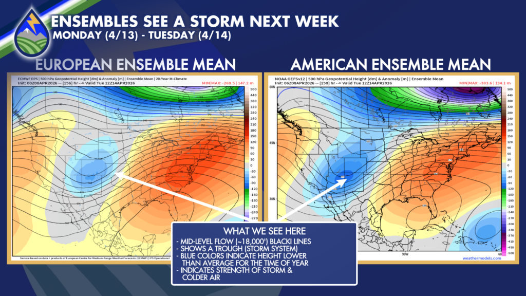
Ensembles help with that. We run multiple dozens of the same model multiple times, slightly changing initial conditions each time to account for our inability to measure the real-time atmosphere perfectly. This yields an “envelope” of different solutions, or forecasts, to compare. When the spread of these solutions is small, there is higher confidence in the model forecast. When the spreads are large, there is greater uncertainty.
Current ensembles give high probability of a storm moving through the area early next week in the Monday-Tuesday time frame. Small details of temperature profile, circulation location make a big difference in what we ultimately experience, and we’ve still got time to figure those out. But for now, plan on a storm in the neighborhood early next week!






