GUSTY THUNDERSTORMS
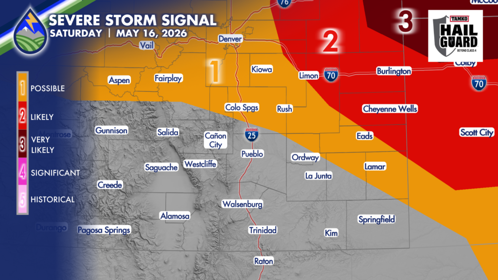
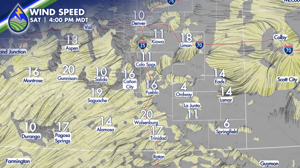
Southwest flow off the mountains dry the lower atmosphere out today. For areas where we can hang on to dewpoint temperatures in the 30s as clouds build this afternoon we’ll keep an eye out for storms that will have the potential to produce some strong gusts between 45-60 mph. These downbursts occur as rain evaporates after falling from the storm in the dry sub-cloud air.

We could get some brief bursts of rain once the storm has been around for a bit over the Pikes Peak Region, Palmer Divide, Denver area and far eastern plains, but as storms move northeast into better low-level moisture across western Kansas, northeast Colorado, and the tri-state area, heavy rain and large hail greater than 1.5″ will be possible in the middle to late afternoon.
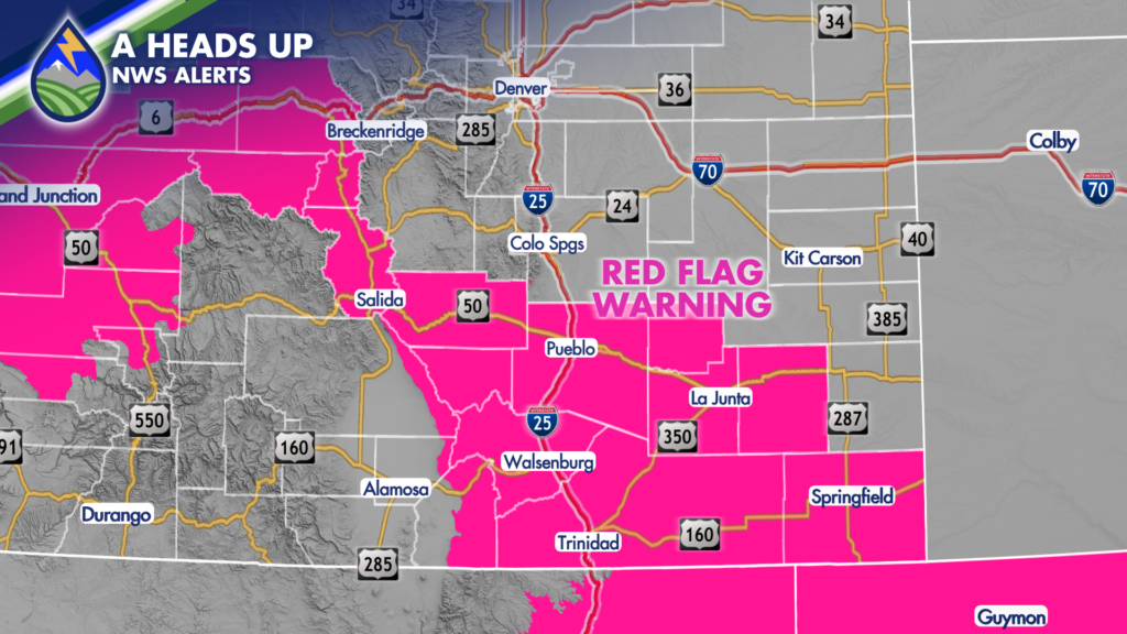
Where the southwest wind is more sustained, relative humidity levels end up between 6-15% in the afternoon and fire danger is a concern, especially with fuels that have dried out this week under warm afternoons. Red Flag Warnings are up for the upper Arkansas River valley, the higher terrain west of I25 south of the Arkansas River, and the plains south of the river. The San Luis Valley will also have dry air southwest wind, but local agencies report that fuels (vegetation) have enough water in the them to preclude a Red Flag Warning.