







SEVERE STORMS POSSIBLE FRIDAY
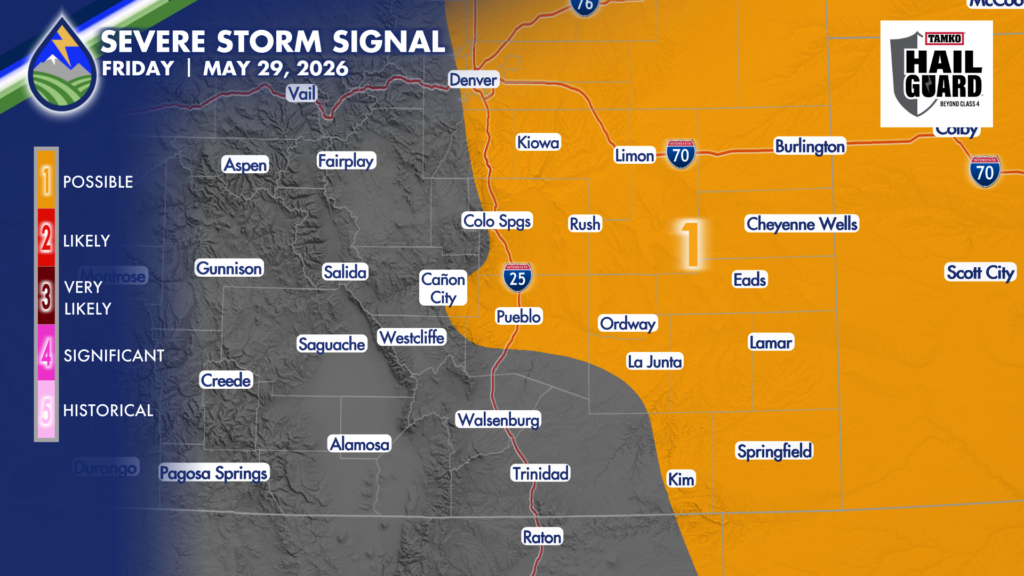
Drier air working in from the southwest and very moist air at the surface east of the Rockies this morning do battle over the plains today. A lot of computer guidance is dropping dewpoint temps along the interstate a bit too quick this afternoon so I’ve edited the data slightly to better represent what I think is most likely to happen.
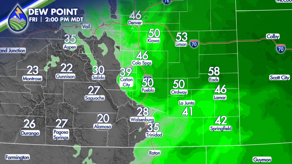
From Cañon City to La Junta to Kim and areas to the northeast a severe thunderstorm will be possible this afternoon. Storms will develop on the western edge of the low-level moisture in the early afternoon and progress northeast through the remainder of the day, getting into northeast Colorado early in the evening as the drier air keeps working across the area through the remainder of the day.
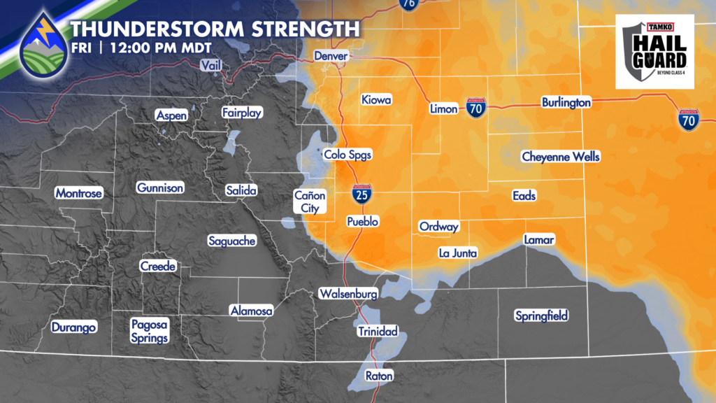
Strong wind gusts near 60mph will be the biggest threat on the southwestern edge of the area I’ve drawn as having the threat for a severe storm. We’ll see an increasing hail threat as storms move northeast and have a longer window to use the deeper moisture.






