







LARGE HAIL DAY MONDAY
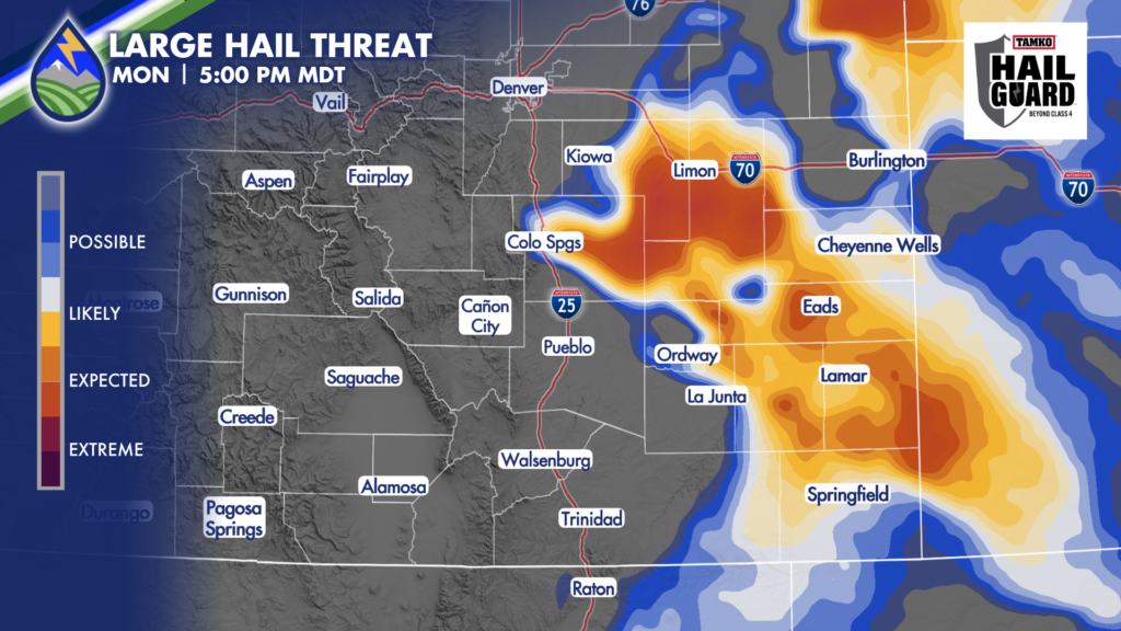
Storms may not really take off until the middle to late afternoon on Monday, but when they do, high impacts are likely. There should be several discreet storms moving southeast over the plains well into the evening that have the potential to produce hail between 1.5″-2″ in diameter. We’re talking golf balls and chicken eggs.
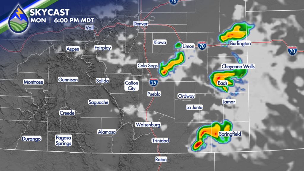
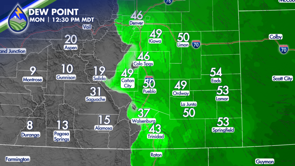
The pattern is a classic one. Abundant low-level moisture in upslope surface flow, with northwest flow aloft. Storms will rotate and organize. The separation of updraft and downdraft will allow them to mature and bring the big hail threat. Sometime to watch for – storms will move southeast. Any that start to move more south (we call these right-turners) are tapping into the moisture at the surface and enhanced low-level turning…these are the storms that bring the biggest of the hail and they can also bring a threat for tornadoes.
Be ready for the storms. Get the most detailed and specific forecast from the most experienced weather team in southern Colorado. Live coverage of the severe storms with chasers and reports from you! Download the app today:






