







WEDNESDAY AFTERNOON
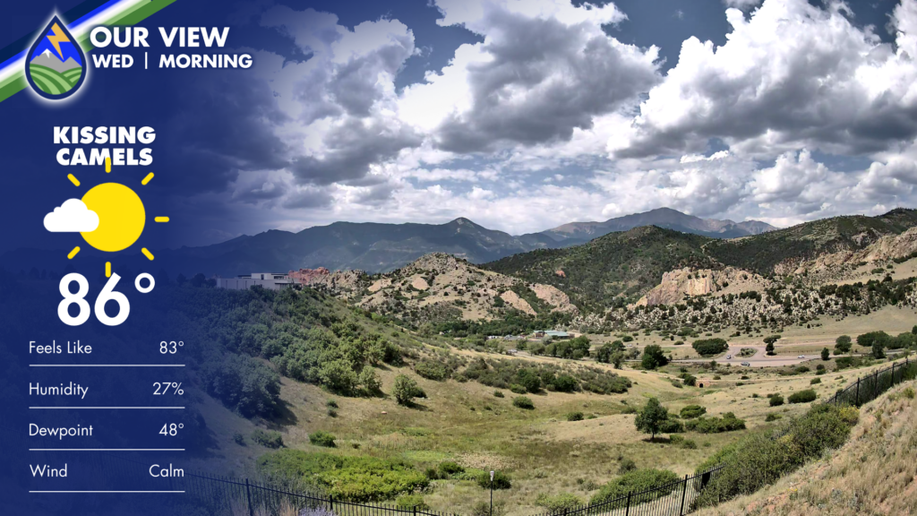
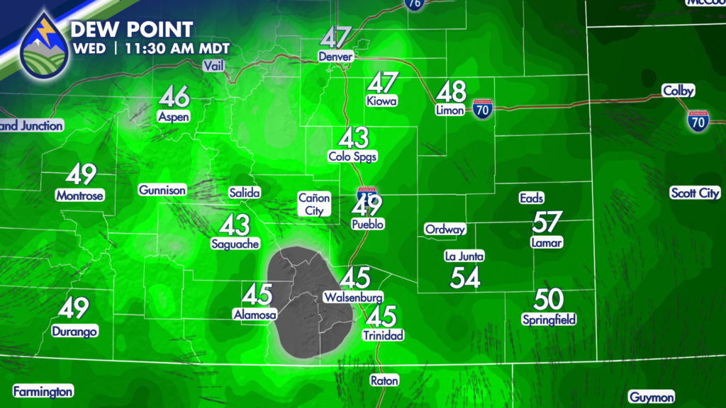
Clouds over the area this morning are one indication of the mid-level increase in water from the monsoon. Clouds are starting to build vertically in some cases over the mountains at noon Surface dewpoint temperatures are up compared to 24 hours ago, indicating that our air below the cloud bases today isn’t as dry as it was on Tuesday.
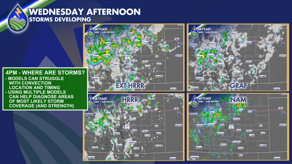
At 4pm, storms are most likely to be over the mountains north of highway 50 and over the Palmer Divide into northeast Colorado. I’m showing you the type of thing we do behind the scenes to make our forecasts…check out the similarities – and differences – between four different models. The coverage on the extended HRRR will probably be closest to reality with the strength of the storms indicated in the NAM and the HRRR are probably closer to what will actually be happening.
THE POINT
The farther southeast you are, the less likely you are to have storms this afternoon. That said, the storms over northeast Colorado are partially due to the cool front that will head south across the rest of the plains during the evening. This will bring the chances of storms farther south with time tonight.






