A couple of factors will come together to bring flash flooding concerns come Thursday afternoon.
First, high pressure has set up to our southeast and a trough of low pressure has situated itself to our west. Clockwise flow around the high, along with counterclockwise flow around the trough will help to stream Pacific moisture into the state, along with a little Gulf moisture as well.
Meanwhile, a Wednesday evening cold front is expected to increase low-level moisture that will push up against the Front Range.
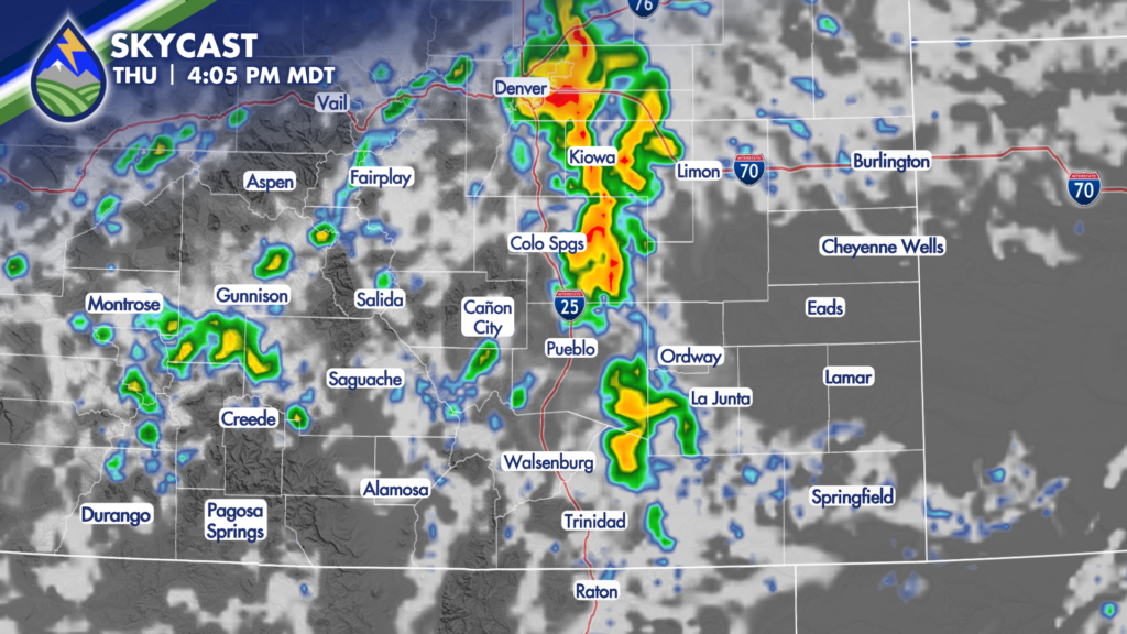
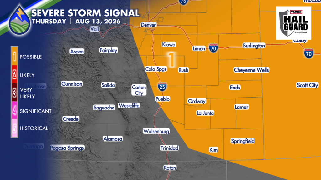
This dynamic combination will lead to a day of slow-moving, heavy rain-producing storms that will develop in the high country first before propagating out across the plains during the mid-afternoon and evening. As storms roll off the hills and out across the plains, there is the potential that they could become marginally severe, with gusty winds and hail looking to be the primary threats.
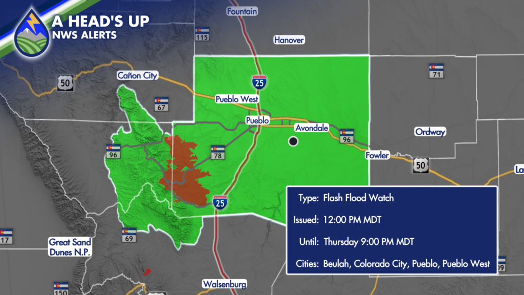
Of greater concern, however, will be if one of these storms moves over active fires or recent burn scars. The Aspen Acres received a quick shower on Wednesday, and the Willow Burn Scar received enough rain to prompt a flash flood warning. Considering the grounds are at least partially saturated already, it will not take much rain Thursday to cause life-threatening flash flooding. The threat for heavy rain will last into the first part of the night, dissipating by Friday morning – with the exception of a few lingering showers that will last through the night in the high country.
Another round of heavy-rain producing storms is expected on Friday. Flash Flood Watches could be reissued for Friday over the next 24 hours.