







HEAVY RAIN
Thursday brought a number of areas with between 1-2.5″ of rain under afternoon and evening storms. If you had heavy rain yesterday and you get another one today, flash flooding will be more likely for you than areas that stayed dry Thursday.
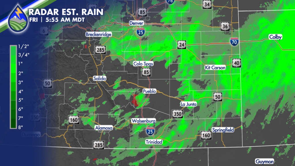
MORE SCATTERED STORMS
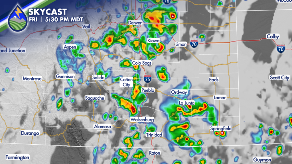
Here’s one computer model’s look at the next couple of afternoons. My hope is that we keep getting different areas on different days to spread it around. Storms will form over and near the mountains, the Palmer Divide, and the Raton Mesa and then gradually shift east through the evening.
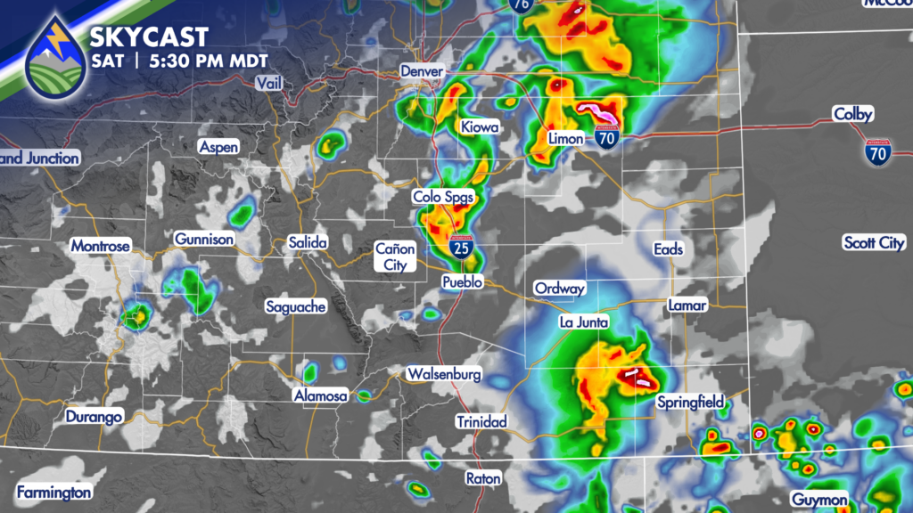
A few storms, like Thursday, will become capable of wind gusts greater than 50 mph as cold pools develop under the storms, especially as they cluster up over the plains in the evening as they head toward Kansas. If you catch a severe thunderstorm warning, that’s likely what it is for. Hail isn’t typically as big of a risk in the monsoon environment, but in theory a storm or two may have some brief windows where 1″ diameter hail is possible.






