High pressure situated to our southeast is expected to continue ushering in monsoonal moisture, setting the stage for yet another afternoon of heavy rain-producing storms.
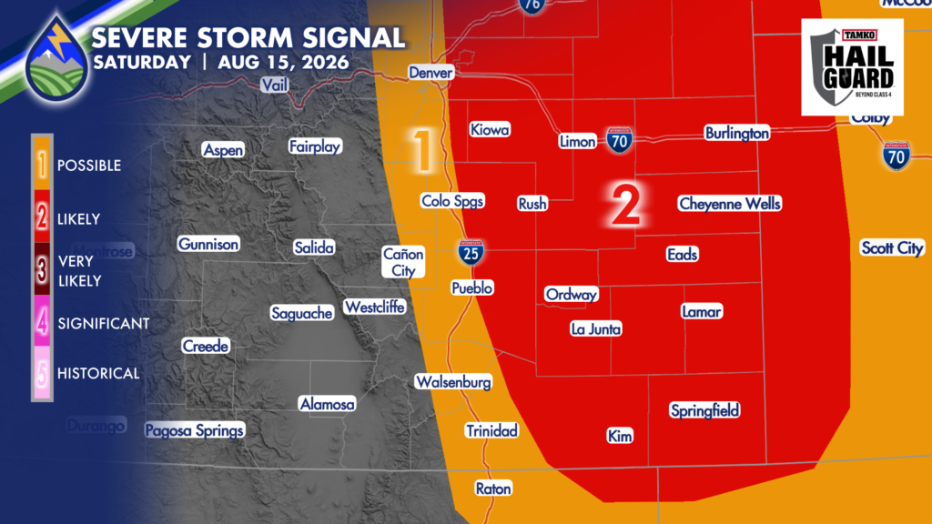
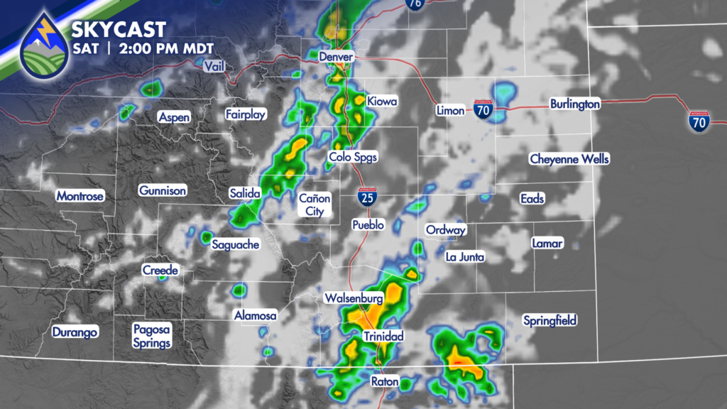
Thunderstorms on Saturday will initiate over the high country around lunchtime before sliding eastward during the afternoon, likely lingering well into the evening. We have the ingredients (moisture, instability, shear) for intensification of these storms, especially across the plains. That being said, hail around 1″ in diameter, 60MPH gusts and heavy rain will be the primary threats with the stronger storms.
Considering how heavy the rain has been for the past 72 hours for some, saturated grounds will increase susceptibility to flooding. Storms Saturday afternoon could produce 1-2″ of rain in less than an hour!
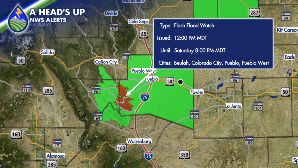
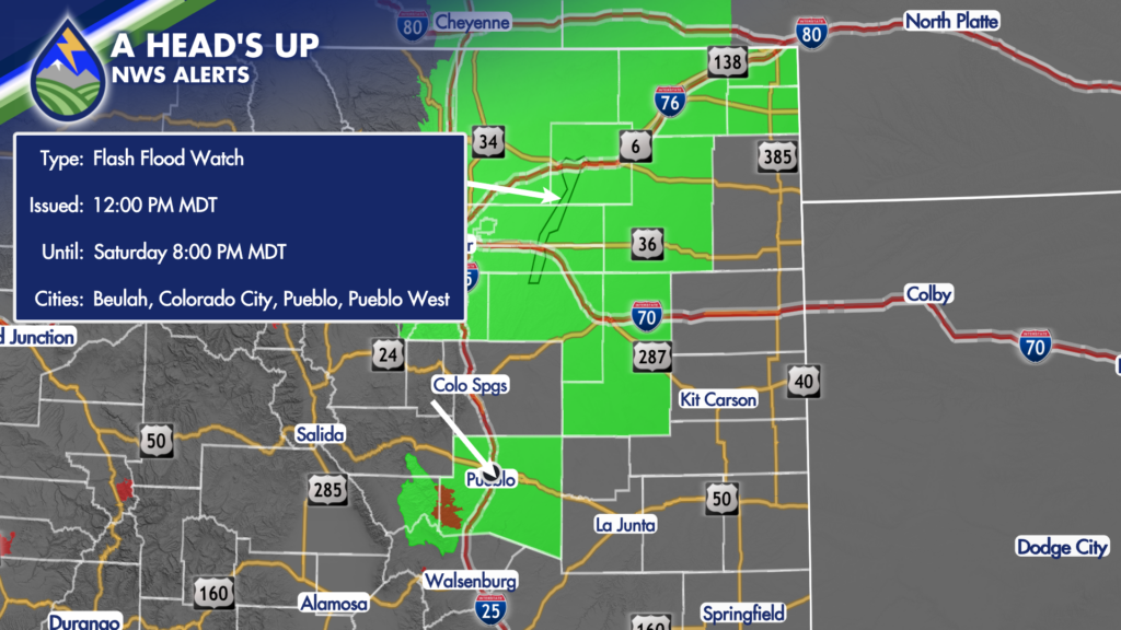
For these reasons, a FLASH FLOOD WATCH has been issued for the Aspen Acres Fire Saturday Afternoon, with a FLOOD WATCH issued for portions of central and northeastern Colorado.
Sunday looks to bring a similar setup, with another round of heavy rain possible.
Keep your Peaks2Plains App on the ready this weekend, we’ll update you live as storms move into your area.