







SEVERE STORMS SUNDAY
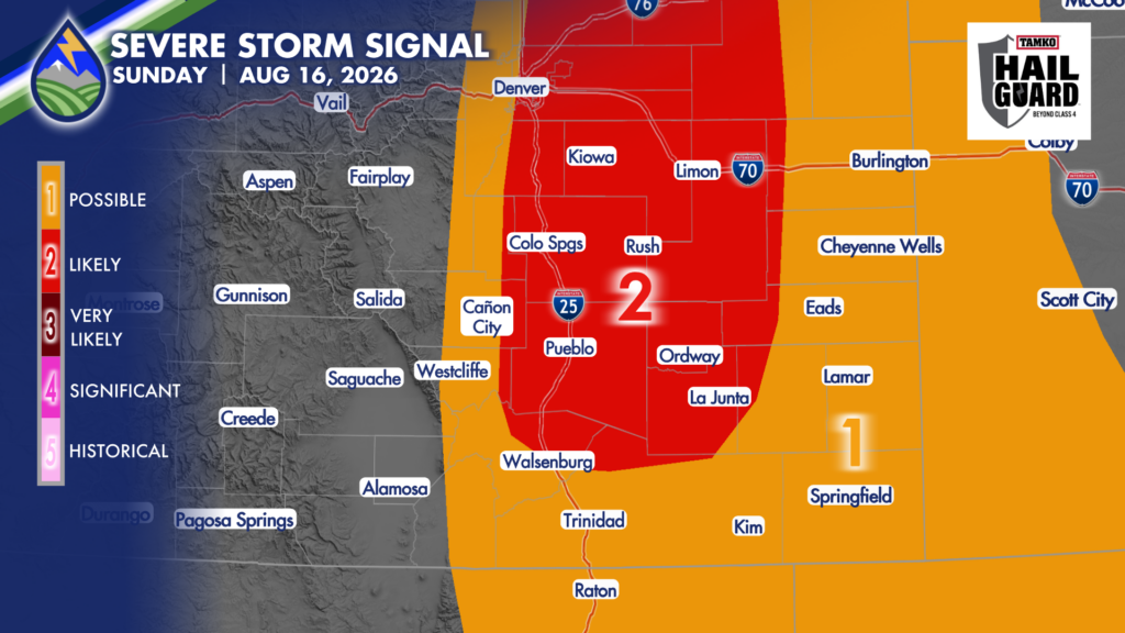
Sunday afternoon and evening will bring another active round of thunderstorms. The large-scale pattern is shifting the better focus south and east, putting the eastern slopes of the Rockies, the I-25 corridor and the southeast plains in a favorable spot for storms. The western slope begins drying out a little, but eastern Colorado will remain in the more humid air.
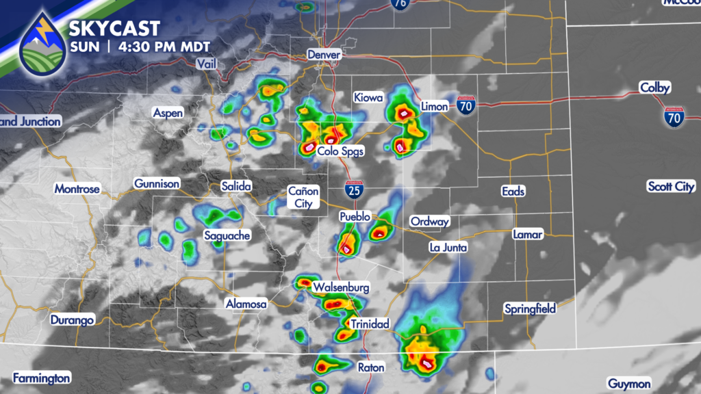
The biggest concerns with Sunday storms are very heavy rain, large hail and strong outflow winds. A few storms may produce hail in the one- to two-inch range, and wind gusts could reach around 60 mph.
Not every town will see a storm, but the storms that do develop can put down a lot of rain in a short time. That is especially important near recent burn scars, low-water crossings, normally dry washes and places that have already had repeated rainfall the last few days.






