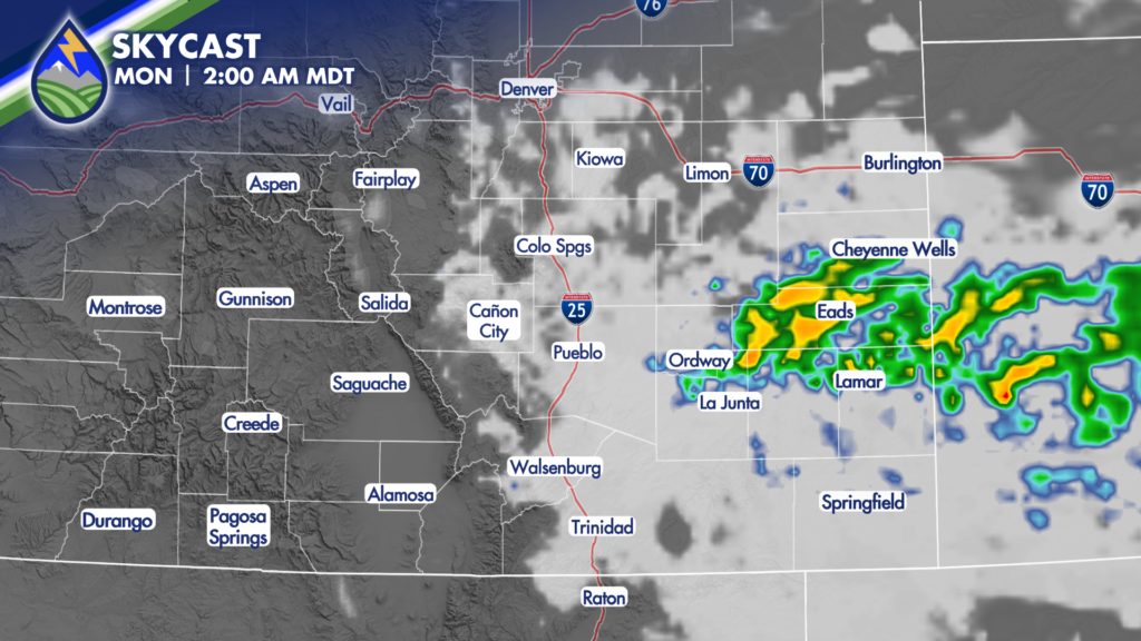
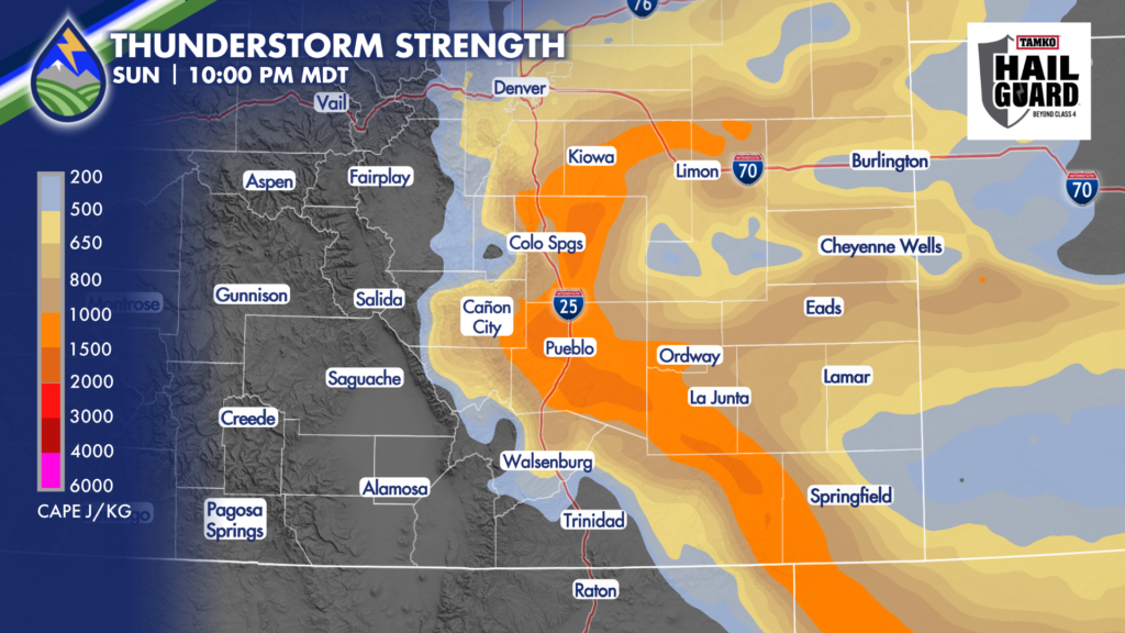
The potential for storms will linger overnight and through early Monday morning thanks to a cold front.
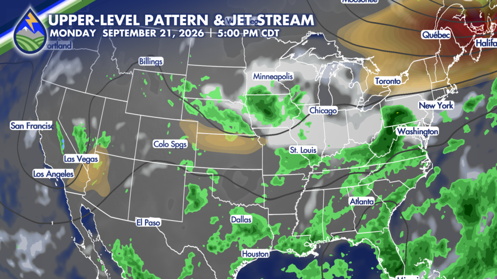
Winds will kick up as the front moves through, with an increase in moisture behind it. This will combine with lift from an upper-level system to initiate another round of storms overnight. The storms will likely develop along the Palmer Divide before expanding across the plains. Storms will travel southeastward, moving over the Lower Arkansas River Valley during the early morning hours of Monday. Most of this activity should move out of the state shortly after sunrise Monday.
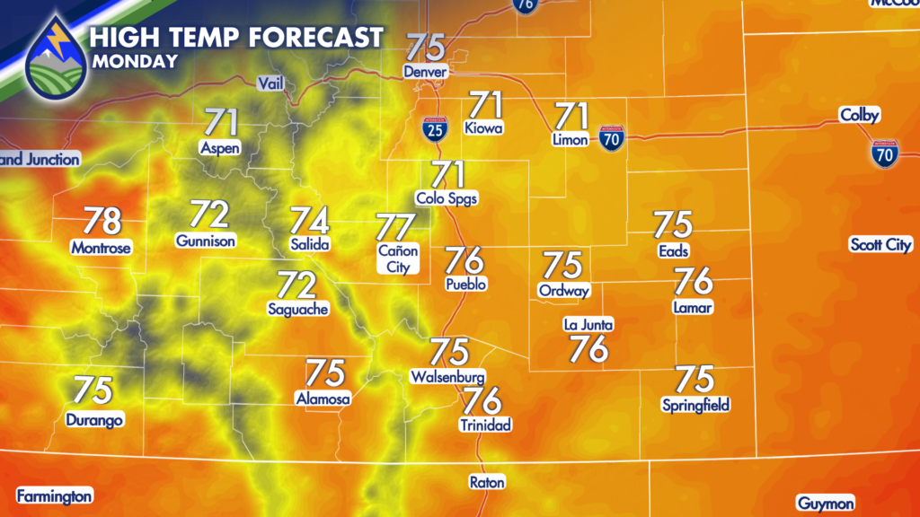
Behind the storms, clouds and patchy fog will be possible across the plains. It will be a cool morning with lows in the 40s and 50s. Afternoon highs will get into the 60s and 70s.
Thanks to a brief rebuilding of high pressure overhead, it will dry out on Monday. There is still a chance for isolated storms during the afternoon and evening, but more areas will stay dry.
Daily storm chances resume Tuesday, with a warmer and drier pattern expected to set up by the weekend.