After an upper-level wave moved through Wednesday night spreading rain across the region.
By the time most of the showers ended Thursday morning, many areas were left with around 0.5 inch of rain. However, in southeastern Colorado, rain totals ranged from 1 inch to more than 3 inches.
The highest totals were mostly in Baca County, where a report of 3.49 inches of rain came in from near Campo.
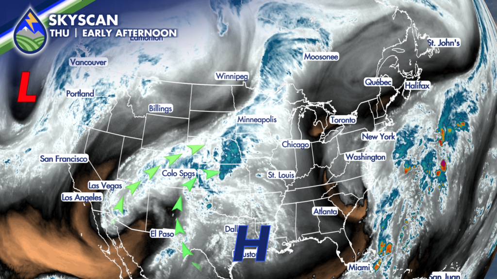
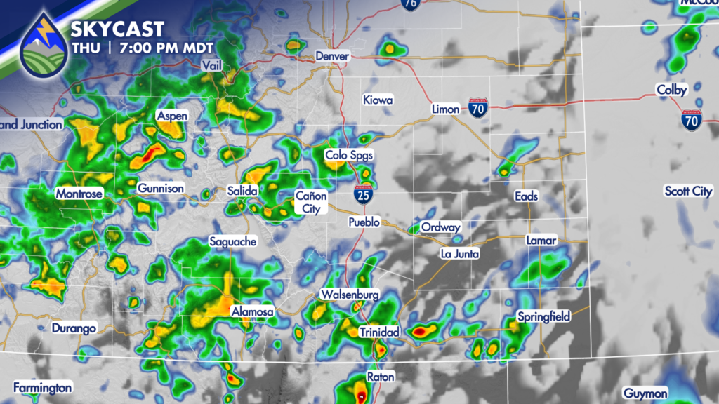
As this wave has exited to the northeast, another disturbance is going to provide the lift needed to help showers and thunderstorms redevelop again Thursday afternoon and evening. While severe storms are not expected, any additional rain for areas that are already soaked could cause flooding and flash flooding.
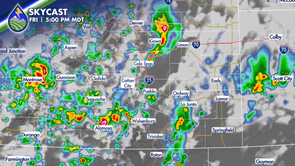
Friday will be partly to mostly cloudy, again, but should end up a few degrees warmer. As our primary moisture plume shifts farther to the east, the mountains are expected to see a decrease in activity. Afternoon and evening storms will still be possible, with heavy rain looking to be the primary threat with storms that do develop. Friday’s activity could impact evening football games, so be sure to check your Peaks2Plains App often for forecast updates.
Drier air moves in for the weekend, which will also allow temperatures to climb.
Highs Saturday and Sunday are back in the 80s for many, with only a slight chance for mountains storms both days.
Our next system looks to arrive early next week and promises more showers and a significant drop in temperatures!
Check out your Peaks2Plains Extended forecast for more on how this upcoming system is expected to impact our weather in Colorado.