After very warm weather leading up to and through Christmas, those of us that found the pattern pattern to be providing lump of coal in the stocking type of numbers – a seasonal dose of reality arrives as the holiday weekend comes to a close. Actually, it’ll be a little bit earlier than that as the cold front should arrive Saturday evening.
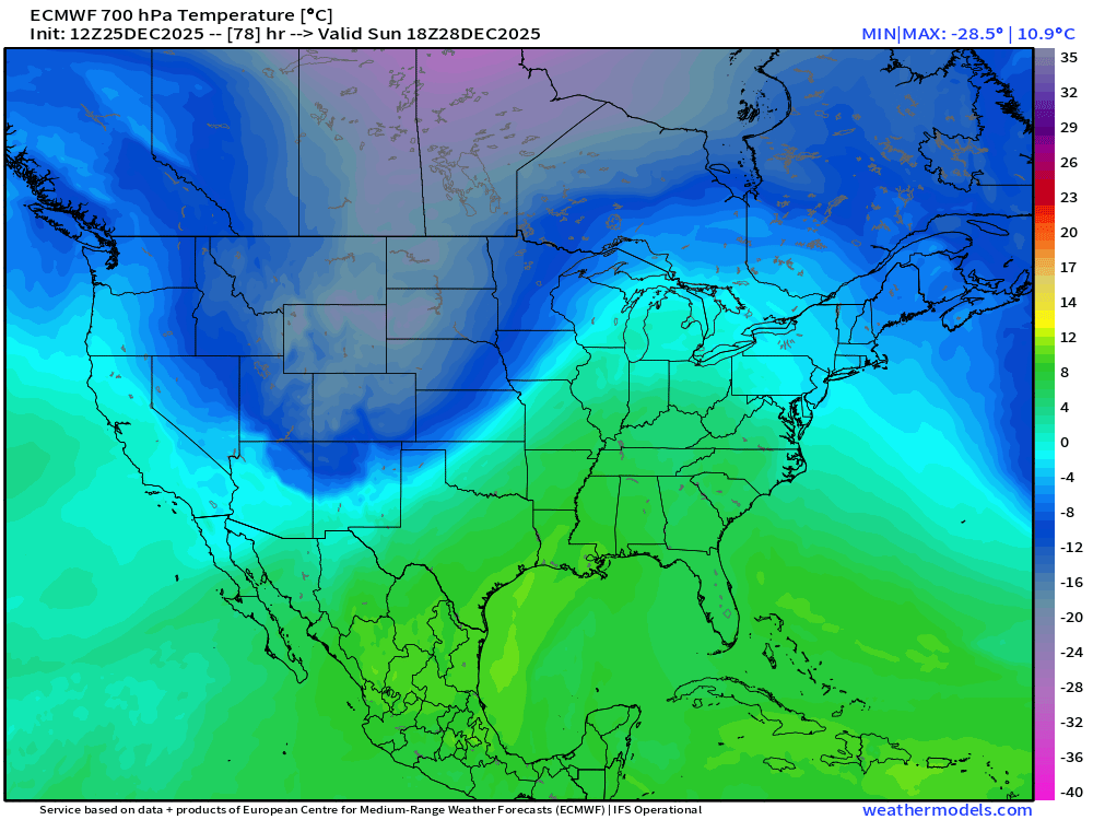
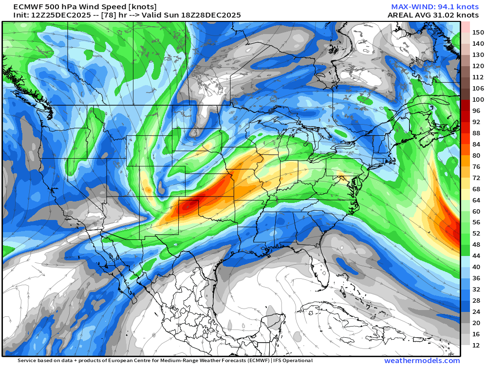
The perhaps highly anticipated change is driven by an upper-level wave crossing through the central Rockies during the weekend. By mid-day Sunday, the trough axis – which is the base of the dip in the black lines you see – will be moving across the Front Range.
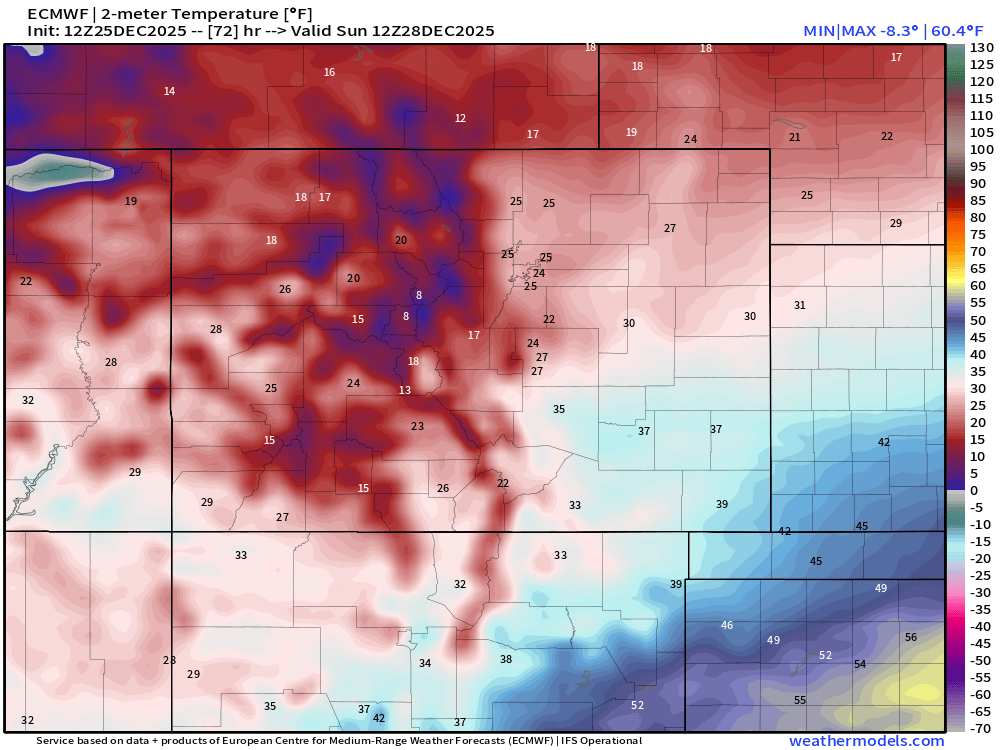
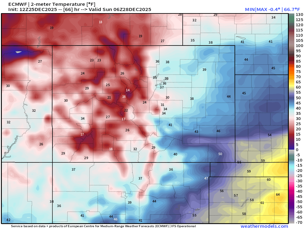
This wave is going to bring in a big temperature swing of probably 30 to 35 degrees on official highs from Saturday to Sunday, but daytime differences could be closer to 40 to 45 degrees between the start and end of the weekend.
High temperatures on Sunday are likely to be at midnight…somewhere in the 30s for northern areas east of the mountains and perhaps some 40s along and south of the Arkansas River. Temps will keep falling though and the daytime highs around Colorado Springs might be occurring as the sun comes up – with temps dropping a bit more from the mid-upper 20s as the day begins to lower 20s as the day ends. Through some wind in there too, perhaps some gusts near 30mph in the late morning and you’ll notice the change!
The best opportunity for snow with this system will be as the temperature change is occurring and just ahead of the upper-level trough axis. This makes the best window for at least a little bit of snow to look to be between about midnight and 9 am from the foothills eastward outside of the ski resorts.
I’ll keep an eye on the snow potential, but outside of a couple of inches along the eastern slopes and maybe a little bit on the northern slopes of the Palmer Divide across Douglas and Elbert counties, the temperature drop looks to be a bigger issue as we sit here three days away from the cold front’s arrival.