







An upper-level low moved from the desert southwest and across Colorado late Friday, helping to initiate a round of afternoon and evening storms.
Severe storms hit portions of Huerfano and Las Animas Counties with the potential for up to 2-inch in diameter hail, heavy rain and 60 mph wind gusts.
Elsewhere, storms capable of producing up to 1 inch in diameter hail and heavy bursts of rain hit the Denver Metro, Palmer Divide, Colorado Springs and eastern portions of the Lower Arkansas River Valley. Most of these storms remained below severe limits, but they still created some areas of localized flooding as they moved through.
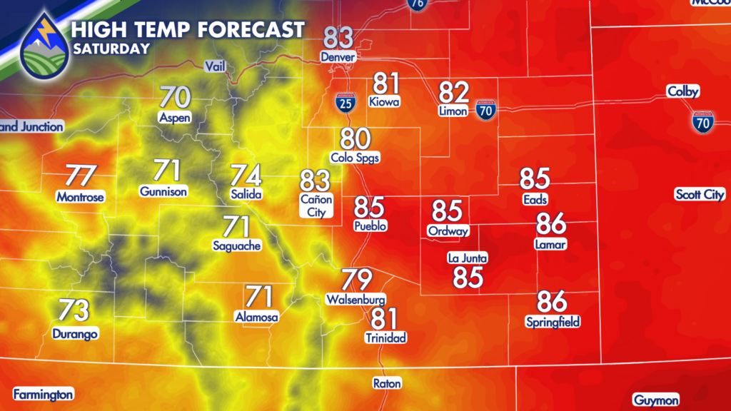
Once this atmospheric disturbance moves out of the state, drier air is expected to move in as high pressure rebuilds for the weekend. This will allow for a much nicer day on Saturday. It will be warmer and drier across the state, with highs getting into the 80s for the lower elevations and 70s in the mountain and mountain valleys. 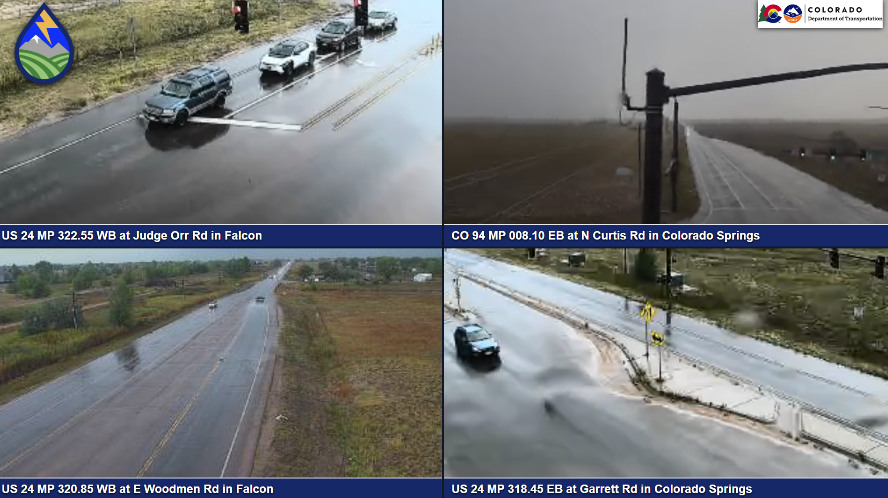
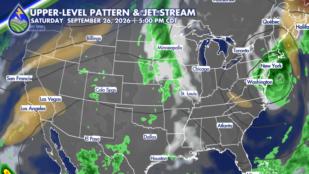
Clouds will be on the increase late Saturday and into Sunday morning, but Sunday for most will remain dry. There will be an increase in storm potential in the mountains beginning late Sunday as our next upper-level system begins to move across the west coast. This next system will bring a significant cool-down and increasing rain chances through Wednesday, with some models hinting that rain chances could even linger into Thursday.






