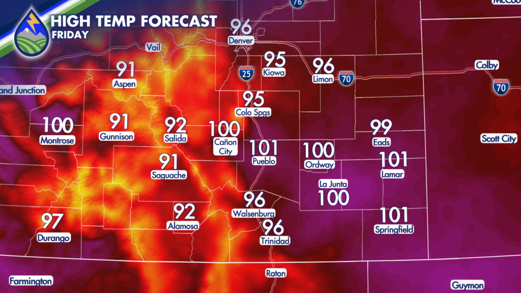
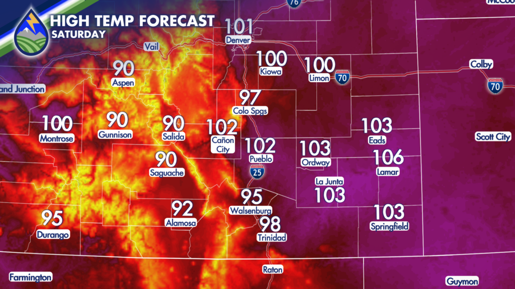
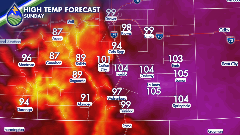
It’s going to be HOT for the next few days.
Our area of high pressure is going to situated itself over northern Arizona and the four corners through the weekend, which unfortunately means Colorado is going to dry out. Dry air heats up more efficiently, so temperatures are expected to climb.
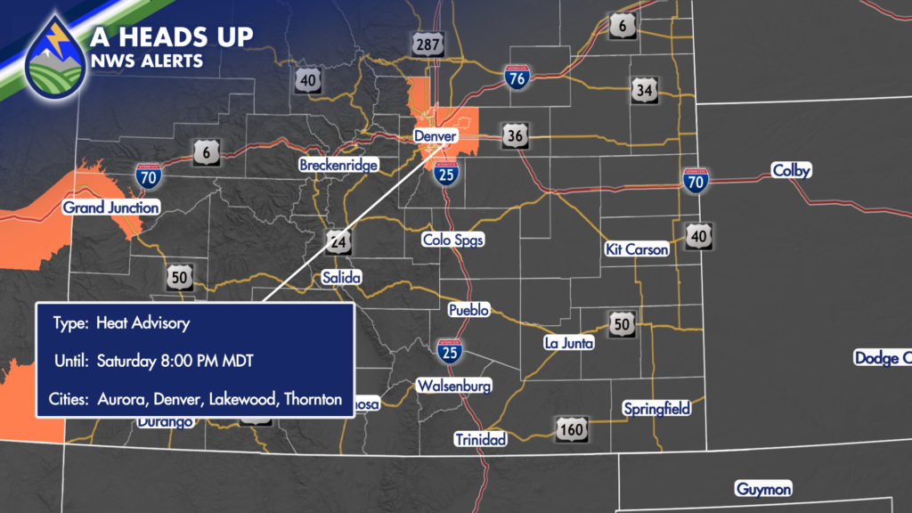
Friday will bring a return of 90s and 100s for areas along and east of I-25. Saturday will be the hottest day in the short term with upper 90s in Colorado Springs and near 105-degree temperatures along the Lower Arkansas River Valley. Heat Advisories have already been issued for Denver and Boulder on Saturday ahead of this anticipated heat.
There will be a very slight increase in moisture in the high country on Sunday as our high pressure shows signs of breaking down somewhat. This will drop temperatures a few degrees in the mountains and bring the potential for scattered mountain storms Sunday afternoon, but for the lower elevations it’s not going to help much as mid to upper 90s and 100s are expected again on Sunday.
NEXT week, things get interesting. Our area of high pressure begins a slow eastward progression, eventually redeveloping over Texas. This positioning helps to pull Gulf moisture northwestward across Mexico, over the desert southwest and right into Colorado! So, expect a gradual cool down that will bring back 70-degree temperatures by Thursday! Increasing moisture will also set the stage for increasing storm chances through the week, next week. Heavy rain-producing storms will be welcome, but they could cause dangerous Flash Floods if they move over area burns or burn scars. Wednesday, Thursday and Friday look to be the stormiest days next week, with the greatest likelihood for storms to move from the mountains out across the plains.