A string upper-level disturbances will impact Colorado through the weekend, bringing round after round of heavy rain-producing storms.
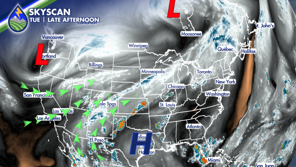
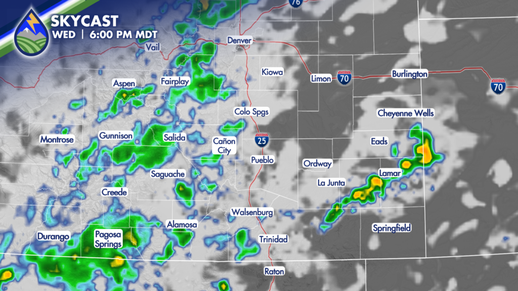
As moisture increases overhead, thanks to high pressure to the southeast of the state and low pressure to the northwest, storms are expected to develop over the mountains and will continue through early Wednesday morning. While a storm or two could slide from the mountains across I-25, areas along and east of the interstate are more likely to be impacted by storms Wednesday evening.
An upper-level wave will move through the state on Wednesday, with another expected Thursday. These waves will provide additional energy to help initiate storms both days. Therefore, an increase in storm coverage and intensity is expected both Wednesday and Thursday, with the potential for storms to last well into the overnight time period.
Storms are expected on Friday as the system currently sliding across the west coast is expected to move over the Rockies.
This will help to reinvigorate storm potential on Saturday, with another drop in temperatures expected this weekend.