







The storm in southern Otero County Thursday evening had a couple scans where it looked like it had potential for some hail near one inch. An elevated core a little bit after 8pm descended through the storm and brought the updraft with it…rapidly collapsing the storm as it moved north toward highway 50.
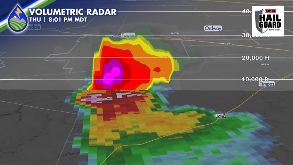
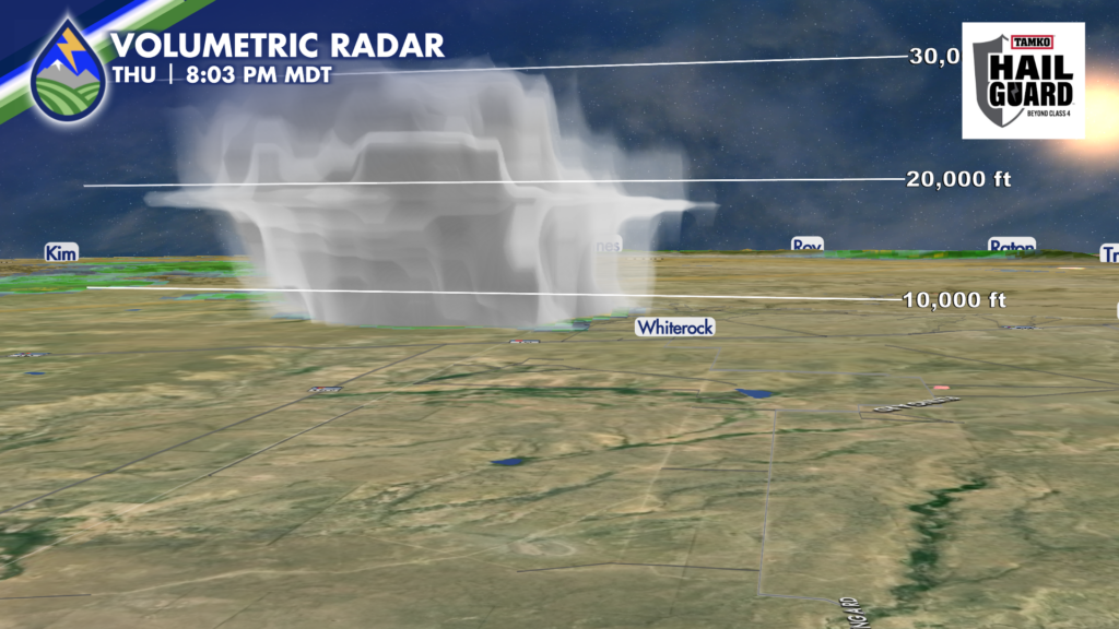
Radar scans the atmosphere by sending the radar beam away from the radar site at different heights, giving us a three dimensional picture of the storm. By using a different grayscale color table I can give you the idea of what the cloud structure of the storm looked like. This is from about Fowler looking to the south. You can see the anvil of the storm, and the vault. Pretty cool!
What I love about covering these storms on Peaks2Plains Weather is that we’ve got time to use all of the analytical tools we have at our disposal. Some of it is geekery for sure, but it “lifts the curtain” and allows you do to the analytical process with Merry and me. We’ll have a new member joining the team soon – I may have an announcement next week!
Have you downloaded the Peaks2Plains Weather App yet? Download it today? We’ve got a streaming 24/7 channel, , accurate forecasts that our decades of experience brings to the table, and a commitment to our community that is unmatched.
APPLE: https://apps.apple.com/us/app/peaks2plains-weather/id6756083668
ANDROID: https://play.google.com/store/apps/details?id=com.peaks2plains.android.weather
Peaks2Plains Weather – Our Weather. Together.






