







As moisture continues to steam into the state, storm chances will be continually increasing!
With an abundance of moisture and some atmospheric energy propagating through the region, expect storms to last well into the overnight time period!
The best chance for storms Saturday night will be in the high country, but an isolated shower over and near the eastern mountains and I-25 corridor is certainly possible!
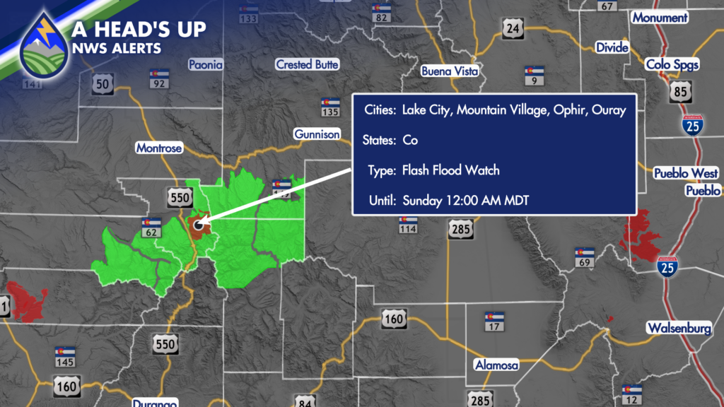
Due to the ongoing rain chances, area burn scars will need to be monitored overnight for flash flooding. A Flash Flood Watch has been issued for the Gold Mountain Burn Scar near Ouray until midnight Saturday night.
Sunday will bring an uptick in storm chances, with another chance for storms to last into early Monday morning.
An upper-level wave moves through on Monday, which should enhance coverage and intensity of storms in Colorado. Therefore, expect an active start to the workweek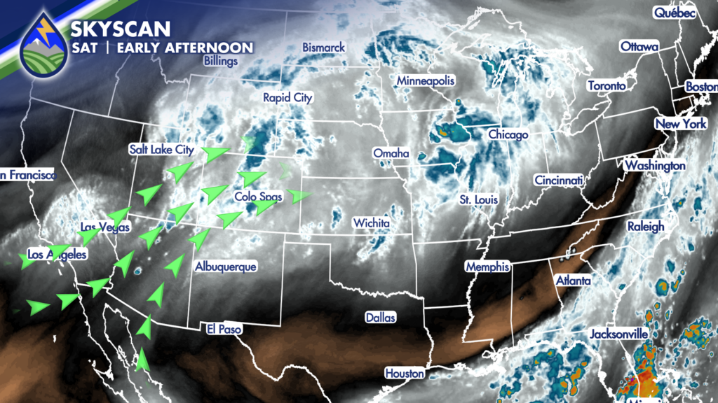
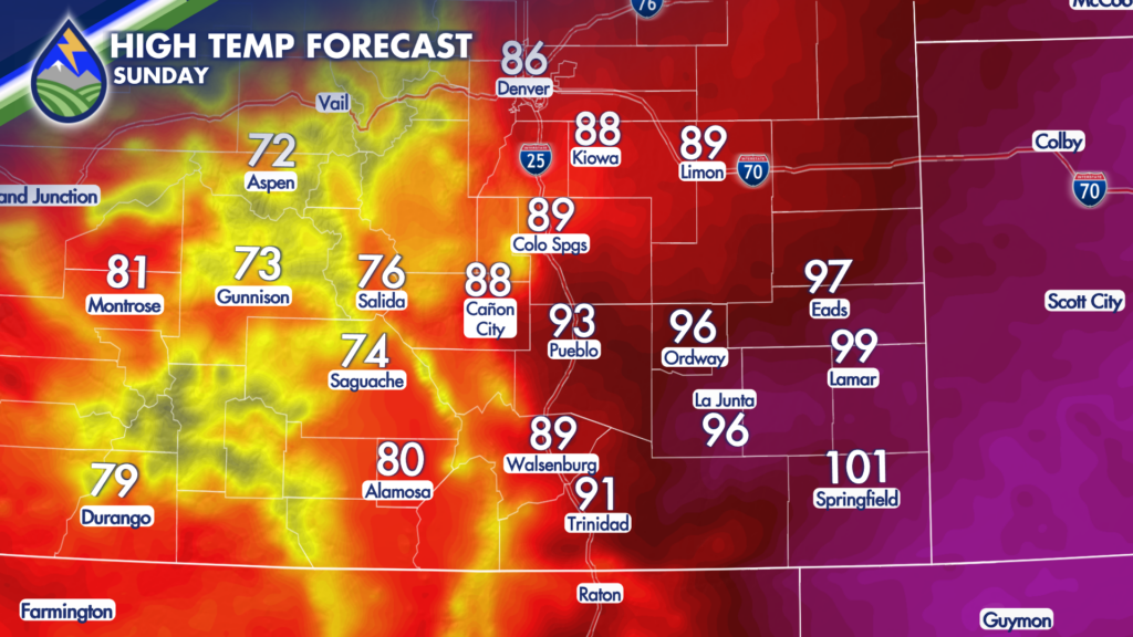 along with another day of flash flooding potential. A cold front is also expected which, should it arrive early enough in the day, could further intensity storm activity. The cooler air will be noticeable Monday and Tuesday, with highs for many areas only getting into the 80s.






