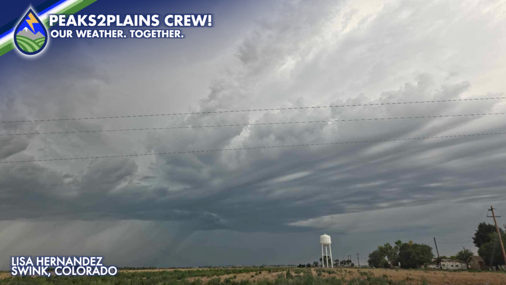
The combination of monsoonal moisture, instability and enough shear in the atmosphere led to an active afternoon of storms across the Eastern Plains!
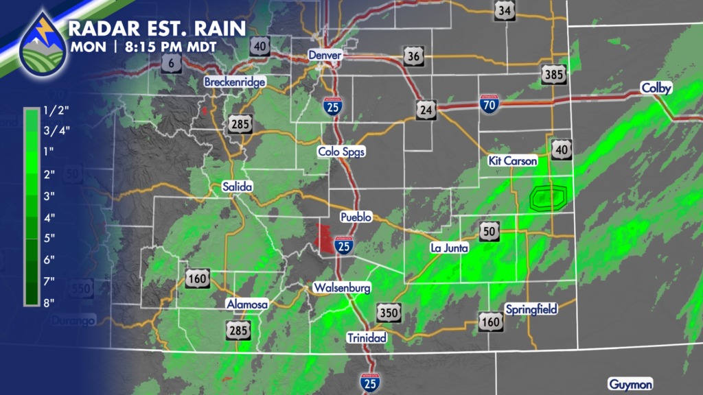
Storms initiated over the Raton Mesa, moved over the I-25 corridor near Walsenburg before sliding northeastward across the plains. As the storms moved into the plains, they intensified and maintained that intensity as they impacted portions of Las Animas, Bent, Otero, Prowers, Baca, Kiowa and Cheyenne Counties with damaging winds, large hail and even a slight tornado potential!
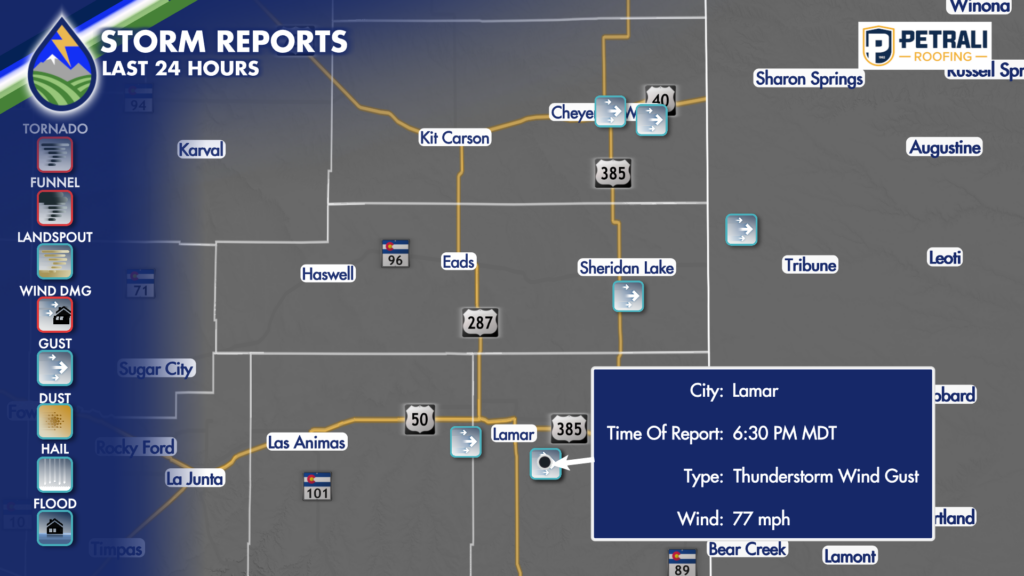
No funnels or tornadoes were reported as this line of storms moved through, but several areas reported very strong wind gusts. Near Lamar, a 77-mph gust was reported!
Under the strongest storms, heavy rain was also reported. Many areas received between 1 and 2 inches of rain beneath this line of storms, which created flash flooding concerns throughout Monday evening.
This line of storms is expected to end up moving out of Colorado and into Kansas during the first part of the night.
A upper-level wave is expected to move through overnight, though, which will keep rain chances ongoing. The best chance for overnight rain will be across the high country and eastern mountains, with a few of these showers expected to spill over the interstate through early Tuesday morning.
There is another chance for strong storms to move over the plains again Tuesday afternoon. If areas that received a lot of rain on Monday get hit with more rain Tuesday afternoon, renewed flash flooding concerns are expected.