







PATTERN CHANGING
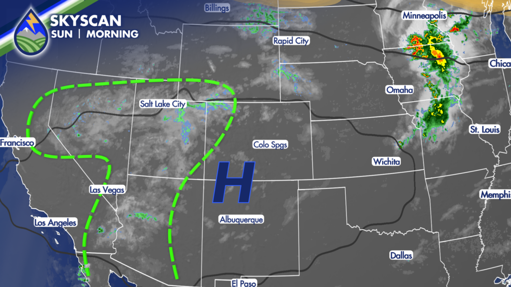
High pressure shifting east of the area over the next few days. As it moves, we’re already seeing signs of the changes as the monsoon flow is showing up now to our west…smoke conditions are likely to improve…mountain temperatures come down a degree or two…and the chance of rain creeps up each day.
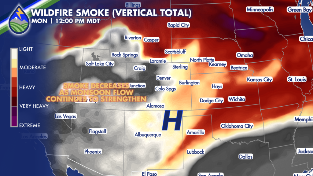
HEAT CONTINUES
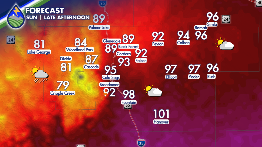
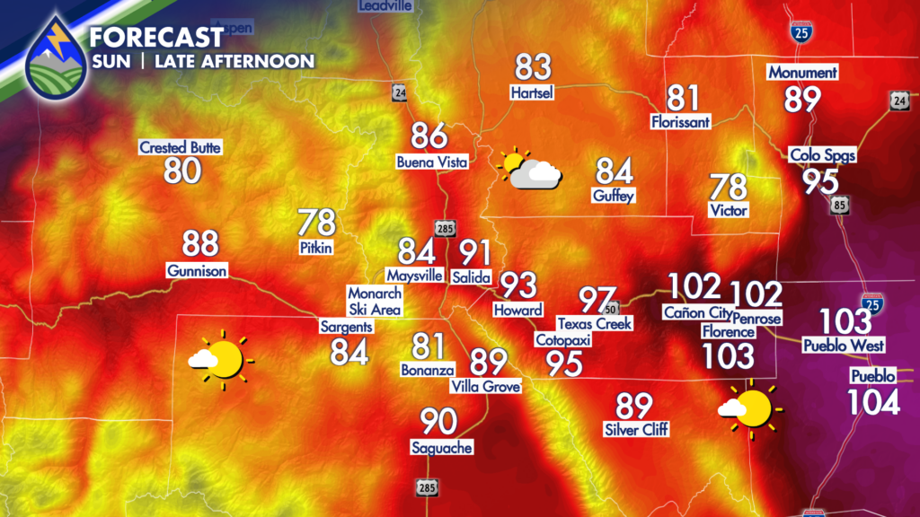
Record heat is still in play on Sunday afternoon with temperatures above 100° along the Arkansas River with 90s elsewhere east of the mountains. Fewer spots on the valley floors get to 90° around Gunnison and Alamosa today, a trend that continues in the early week. Storms become more likely to bring rain in addition to gusty wind, more so Monday than Sunday as we really start to increase how much water is in the mid-levels of the atmosphere.
STORMY STRETCH
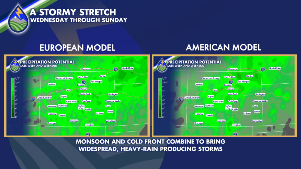
As the monsoon keeps strengthening through the week, storms get more likely each day over the mountains. A cold front arriving Wednesday brings low-level moisture east of the mountains that adds an extra little oomph and really brings up the chance for heavy rain east of the Rockies.






