Cold front number one arriving late Wednesday washes out on Thursday and a second upper-level system across the U.S. & Canada border sends another front westward late Thursday.
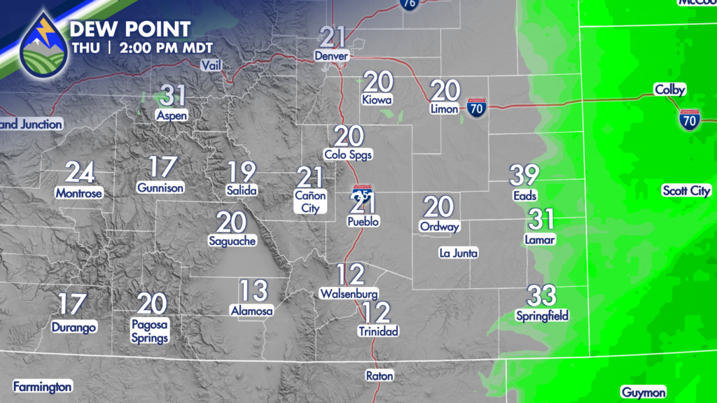
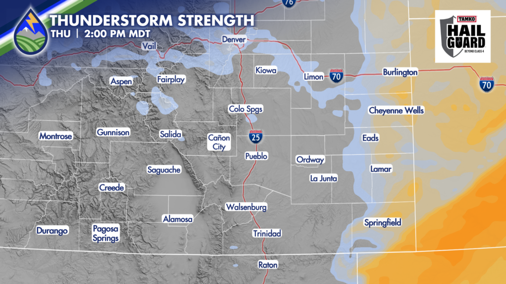
This one backs in from the east and brings more water with than the one moving toward the hills right now. Notice the dewpoint higher along the front Thursday afternoon near the Kansas line. The deeper moisture will lag behind the front, so I think most of the storms that could prompt a severe thunderstorm warning end up in Kansas. I’ll watch it though.
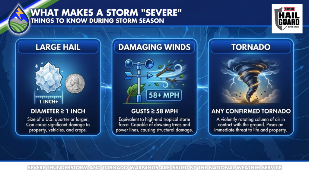
It’s a good time to remind you what makes a thunderstorm “severe.” You’ll probably get hit with a storm at some point this year that you’ll say is severe, but meteorologist use some pretty specific criteria. Here’s what the National Weather Service uses to classify a storm as severe. They issue severe thunderstorm or tornado warnings based on this criteria.