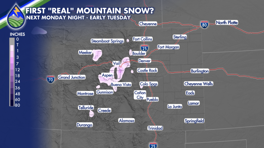
FIRST “REAL” MOUNTAIN SNOW?
It probably wouldn’t be too much, but while we’ve had a dusting up top in a few spots over the last week, and may get more of that Wednesday Night of this week…A system early next week holds more potential for a better chance of the first “real” snow for parts of the mountains next Monday night, especially if the mid-level circulation moves across northern Colorado and brings the heart of the cold air pocket aloft closer to Colorado’s peaks and passes.
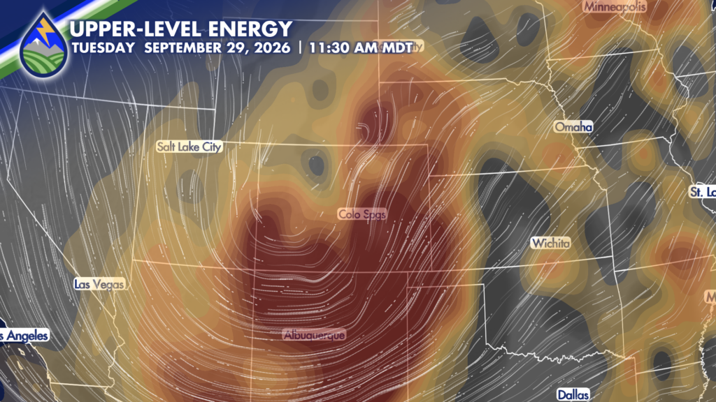
It’s getting time to watch for it – and one of these waves will do it. Perhaps Monday night brings a few inches of snow to some of the higher ski slopes. That would be fun!