*UPDATE* SEVERE STORM POTENTIAL
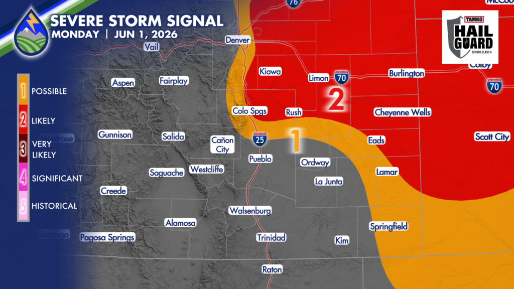
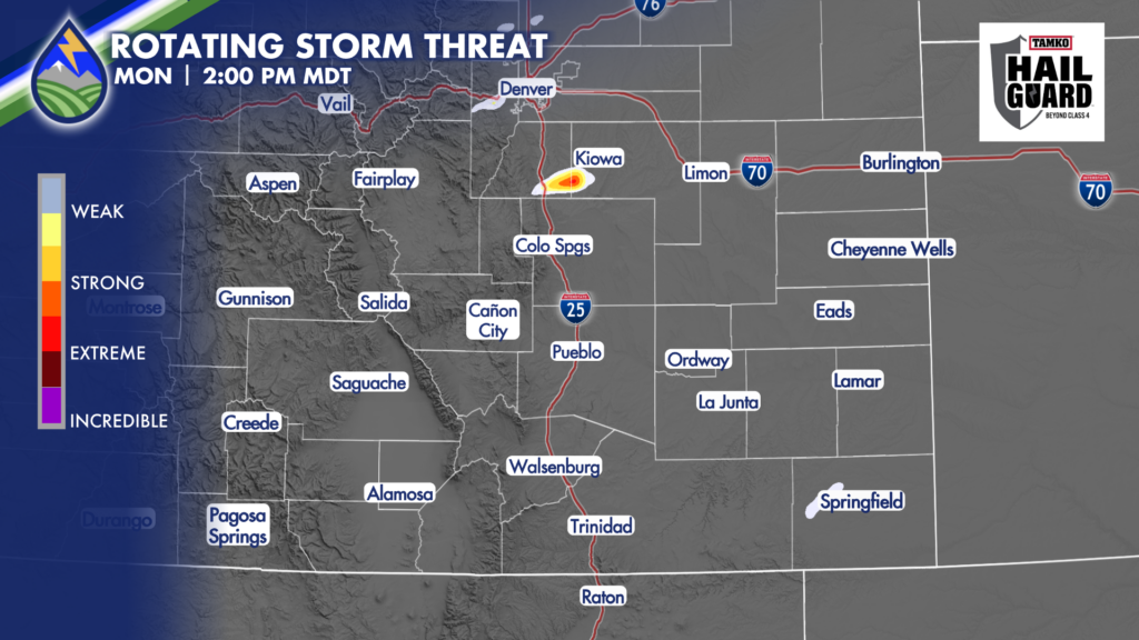
As the area of low pressure is spinning up over southern Colorado now, I’ve pulled our chances for severe storms back southeast into the Colorado Springs metro area. My hunch is that the storms will still form over the Palmer Divide, but I’ can’t rule out with where the moisture is that we get a storm over northern El Paso County that’s rolls ESE across northeastern parts of the metro area.
Heads up Monument, Black Forest, NE Colorado Springs, Falcon for this potential. Large hail between 1-2″ will be possible if a storm is rolling ESE over this area. It isn’t a guarantee, but it is a possibility. The HRRR model is picking up on a rotating storm over southern Elbert County near the El Paso County line. This is the storm we will watch if it makes a right turn.