


HAIL NEAR 2″ POSSIBLE
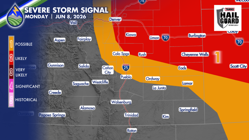
I’m watching northeast El Paso County and the Palmer Divide today for a supercell thunderstorm or two that may produce very large hail.
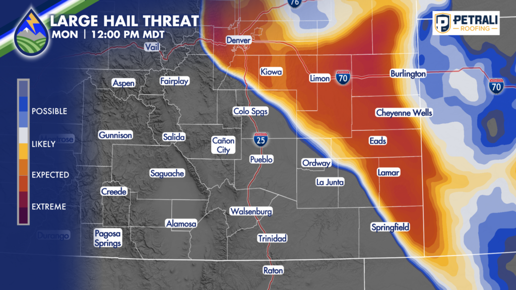
The biggest risk, is very large hail with any storm that tries to turn ESE or SE over the Palmer Divide or eastern Colorado. While any storm that fires in the highlighted areas could bring hail near 1.5″ today, any storms turning ESE or SE that are isolated from other cells may produce tennis ball-sized hail near 2.5″ in diameter.
ISOLATED TORNADO THREAT
These storms, especially the ones on the Palmer Divide where the terrain can enhance the spin, may become capable of producing tornadoes between 2 and 5pm.
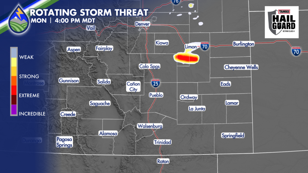
As that storm moves toward Kit Carson and/or Cheyenne County, more of a straight-line wind threat will develop.
Heads up between 1:30pm and 4 over El Paso, Douglas, Elbert and Lincoln Counties, and between 4 and 7pm for areas farther east.


