


Later this week we get a few subtle waves to move through the atmosphere. Each of these brings a pocket of slightly cooler air aloft – this helps to destabilize the atmosphere by increasing the lapse rate (how quickly with height the atmosphere cools)…this increases the instability needed for the formation of thunderstorms.
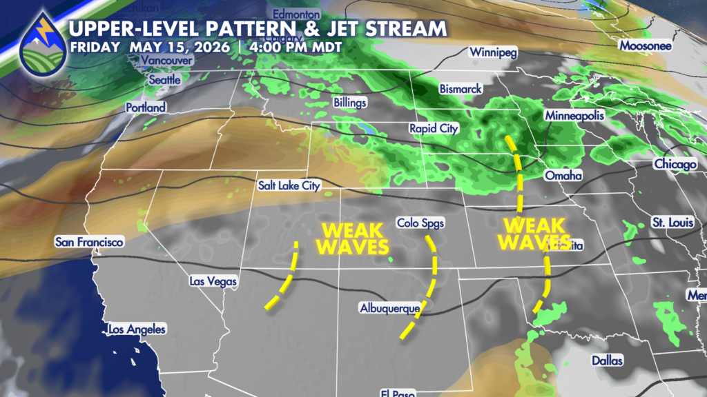
Lapse rates are high over the Rockies anyway because the hillsides and mountain tops heat that level of the atmosphere more than the same elevation over a valley or out over the plains. It’s why the hillsides and mountain tops are usually the first place we see cumulus clouds developing on a late summer morning. The waves moving through enhance these lapse rates even more.
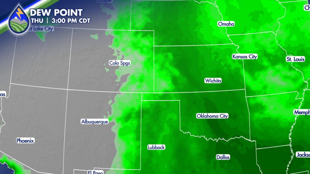
As these waves move through, the low-level moisture looks more significant over Kansas and Nebraska than Colorado. Unless that changes, any storms we get over the mountains are more likely to produce lightning and gusty wind than significant rain.


