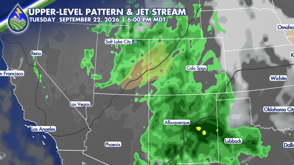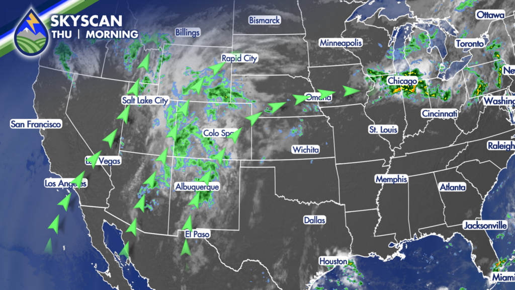
Southern Colorado will stay in a moist southwest flow today, with clouds, a few breaks of sun, and another round of showers and thunderstorms. The overall setup is similar to yesterday, but the timing is different. A faster-moving wave coming up from New Mexico should cross the area closer to the middle of the day, helping shift the better thunderstorm chances away from the Pikes Peak region and toward parts of southern and southeastern Colorado later on.
Showers may linger over the mountains during the morning. Some of that activity could be spotty, and the exact coverage will vary from one mountain community to another. As the midday wave moves north, showers and storms may organize in an arc from around Vail through Cañon City and toward Trinidad. The wave is an important part of the forecast because it is arriving earlier than the one that kept showers going late Wednesday night and into early Thursday morning.
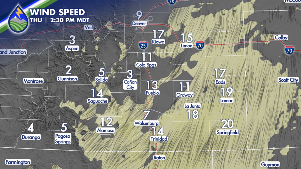
Later in the afternoon, terrain and a surface trough over the eastern plains become more important. That favors the better storm chances from Trinidad toward La Junta and Eads. If you live or travel in that part of the state, plan for scattered thunderstorms capable of moderate to heavy rain. Storms may also produce lightning, brief gusty winds, and quick changes in visibility. Wet roads can develop quickly under the heavier cells, especially where rain falls hard in a short amount of time.
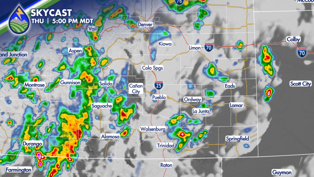
Colorado Springs and Pueblo are not completely dry in this setup. An isolated storm is possible in the cities late in the day or during the evening, but the more favored areas for storms are expected to be farther south and east, along with the higher terrain. That distinction matters for planning: keep the rain gear handy in town, but do not assume every neighborhood will see a storm. Coverage will be uneven, as is often the case with late-season monsoon moisture.
Heavy rain remains the main concern with any stronger thunderstorm, particularly over mountain areas, burn scars, drainages, and locations that have already picked up repeated rainfall. If a storm develops over your area, avoid low-water crossings and do not drive through water covering the road. Lightning can arrive before the rain does, so head indoors when thunder is nearby and give storms time to move away before returning outside.