







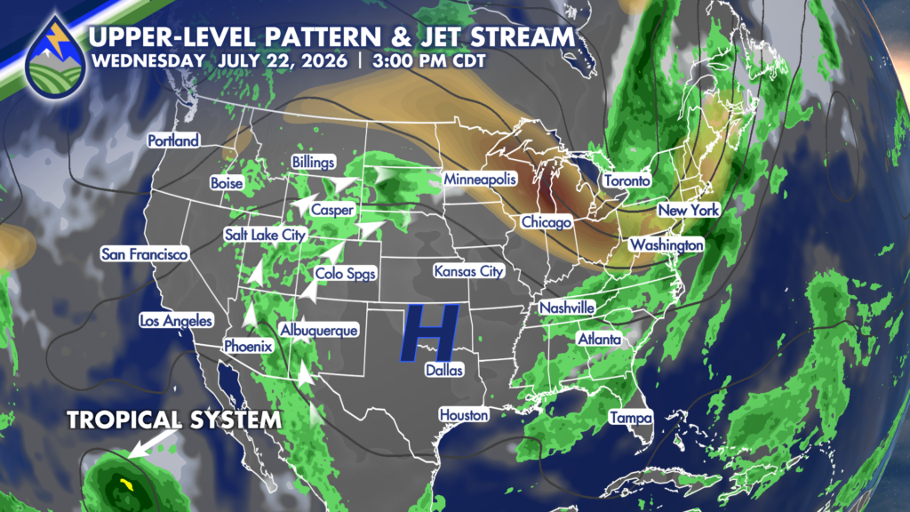
I’ve made a change to the forecast for early next week, particularly for Monday. The high pressure system will be shifting off to the southeast and the monsoon plume will nudge east with it.
There’s a trend developing in models to keep the thickest part of the plume just to the west and north of southern Colorado, but I’m still pattern forecasting since it’s so far away and do think we’re going to get active, but not so much on Monday anymore. Part of the reason I think we’ll be a little drier this day is not only the position of the monsoon moisture, but we’ll be ahead of an approaching cold front.
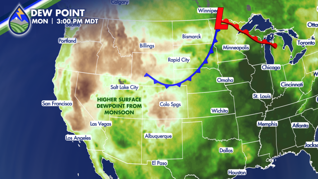
Behind the front for Tuesday we’ll have surface upslope and higher dewpoint air that will combine with the thickening moisture aloft to up the coverage of storms.
Moisture at the surface and the monsoon plume signals storms capable of bringing heavy rain…much needed.






