


A series of waves will rotate across the western U.S. over the weekend and into next week behind the windy, high fire danger system that moves over Colorado on Wednesday. These waves are really tough to pinpoint exactly where and when they’ll be…this is important though because the lift associated with them will bring increased rain and snow chances for areas underneath them.
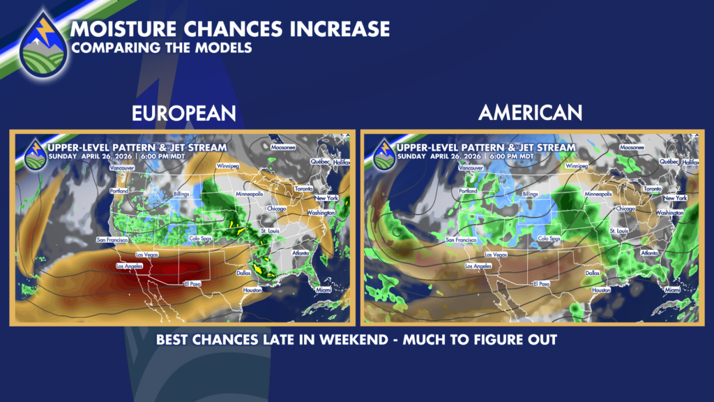
Currently, it looks like Colorado’s mountains and the Pikes Peak Region northward have a better opportunity for more organized type showers and thunderstorms unless one of the waves can come farther south.
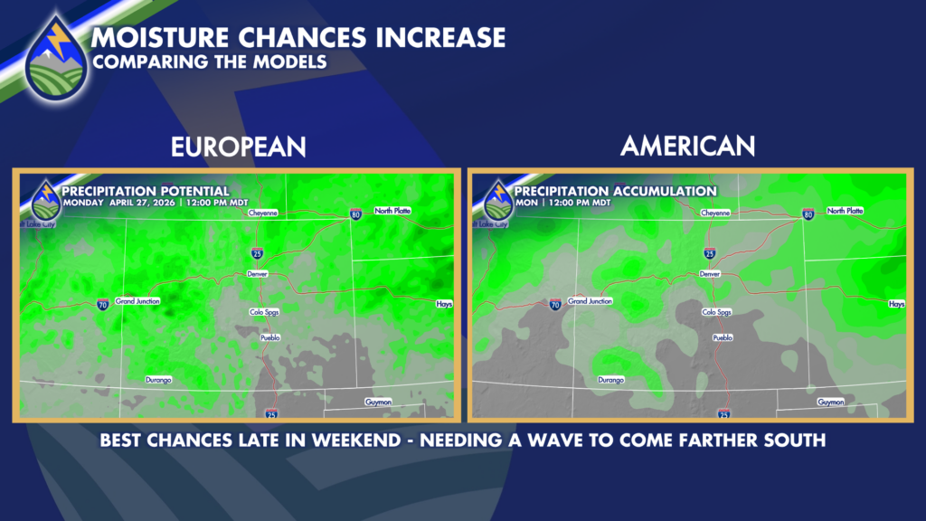
One of the better windows for one of these waves moving through looks like Sunday/Sunday night. I’ll keep watching it!


