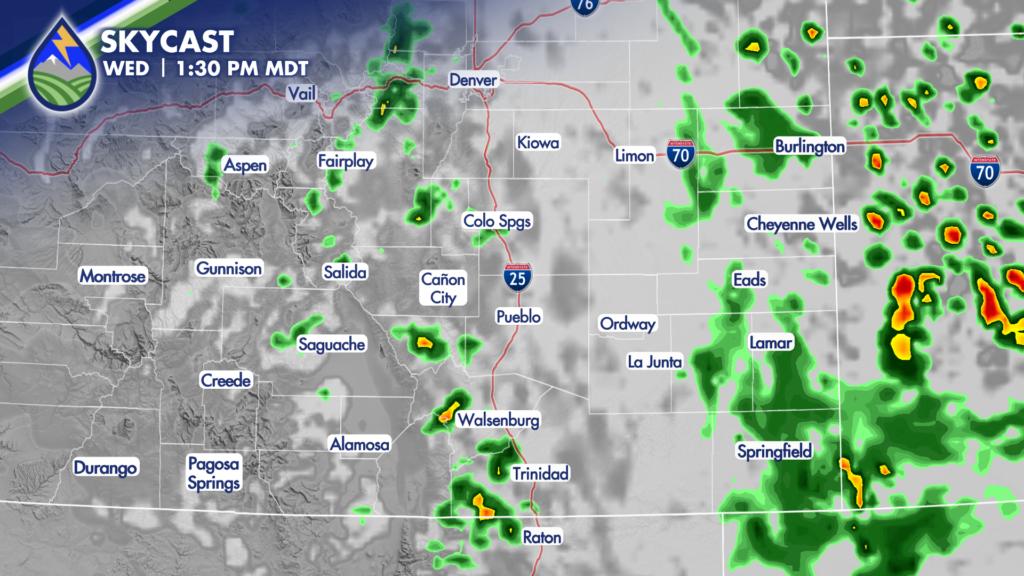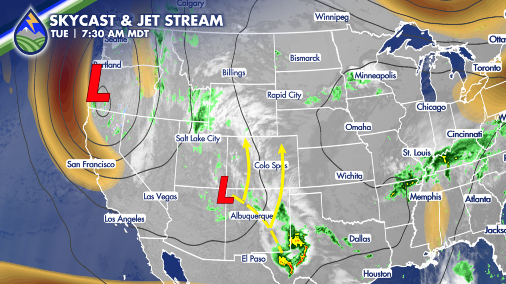
A large area of low pressure over the west coast will steer an upper-level system up from the south over the next couple of days in two pieces. One moves over the mountains Tuesday and one moves over the plains on Wednesday. In response to the upper pattern, low-level moisture has increased over the last 24 hours across the region and this makes rain more likely from afternoon thunderstorms through the middle of the week.
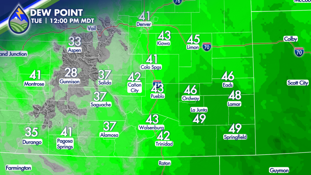
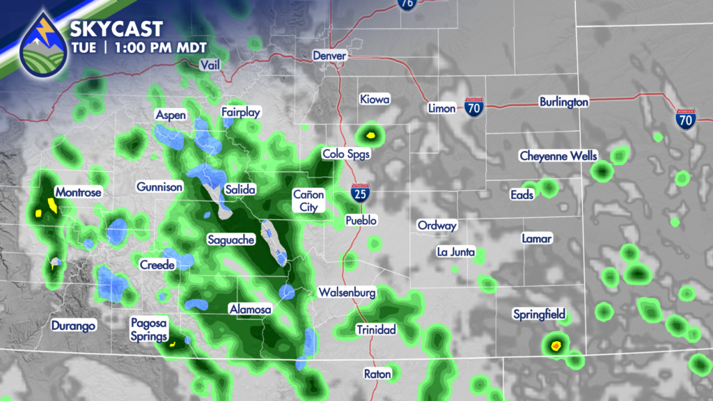
The first lobe of upper-level energy should have the mountains a little more active than the plains on Tuesday, with the second lobe reversing that trend on Wednesday. There may be morning showers over both of these areas, too.