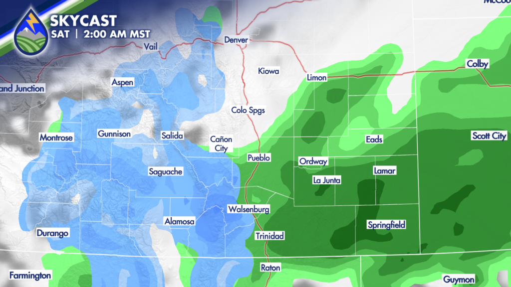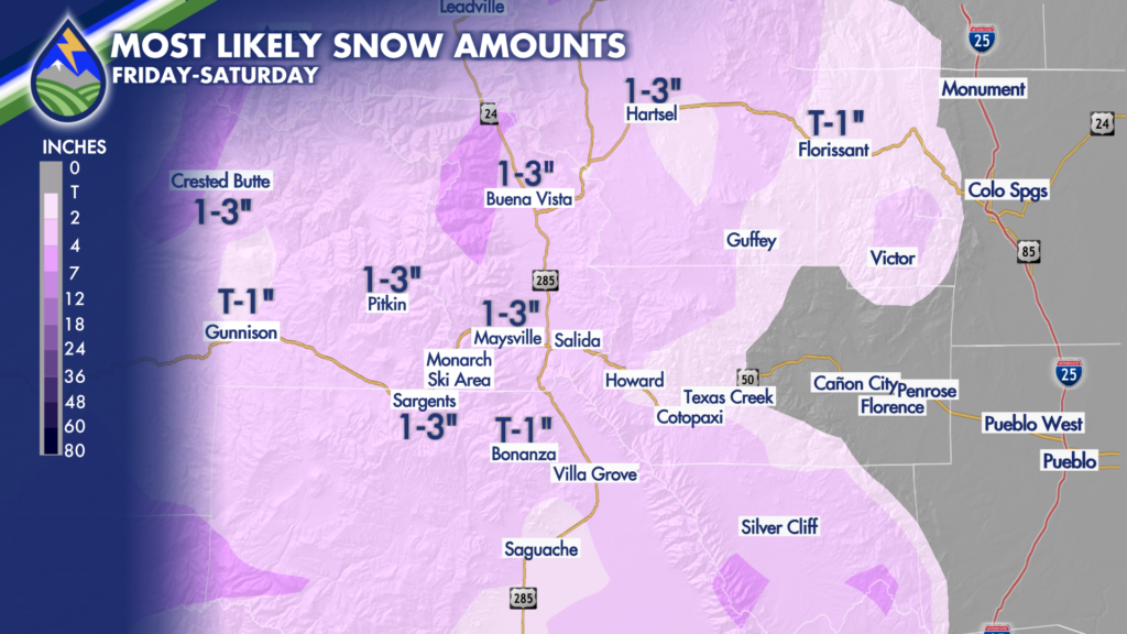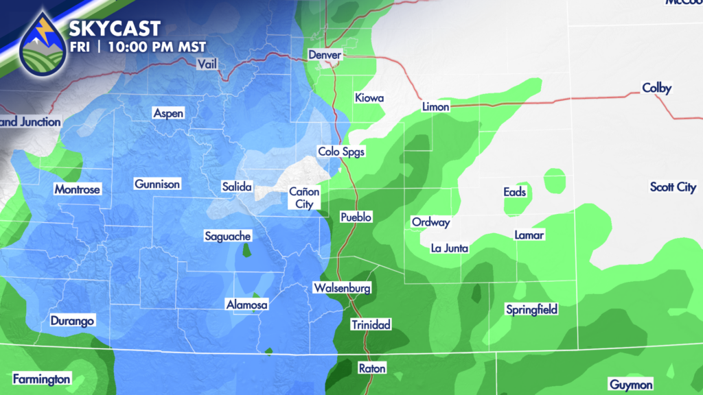
NORTH OF HIGHWAY 50: From 5pm-12am is our most likely timeframe to catch showers. They will be lighter and less widespread than areas farther south. If it’s precipitating heavy enough after 8pm, snow level could drop to as low as 6,500′, but any accumulation between 6,500′ and 7,500′ is likely going to be light and only on the cooler surfaces. Rain and snow will end from north to south pretty quick into early Saturday.
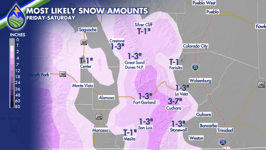
ALONG AND SOUTH OF HIGHWAY 50: Precipitation for us will be more organized in this area and will tend to be heavier. Snow levels will drop to around 6,700′ early Saturday morning and Fishers Peak may get some snow by sunrise. Raton Pass may also see snow. Farther west and higher in elevation the heaviest snow overnight should be found on the Spanish Peaks and the southern Sangre de Cristo Range above 8,000′ where 3-7″ may fall in spots. Areas of the plains south of highway 50 could see .25″-.4″ of an inch of rain before things end from NW to SE Saturday morning.