







SEVERE STORMS POSSIBLE
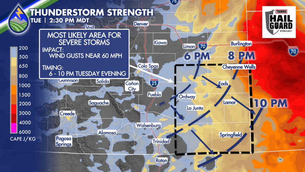
While we can’t rule out a storm that brings downdraft wind near 60mph against the Interstate or adjacent plains in the late afternoon on Tuesday, the southeast corner of the state has the most favorable environment for storms strong enough to prompt severe thunderstorm warnings for damaging wind gusts.
Storms will develop over the mountains and Palmer Divide and shift southeast. The window for severe storms is between 6-10pm and the most likely “severe” impact is wind gusts near 60mph as cold pools congeal over the southeast plains after dinner.
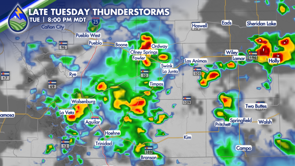
The threat for large hail is less than the risk of damaging wind today, but we’ll watch all of the storms this afternoon and evening.






