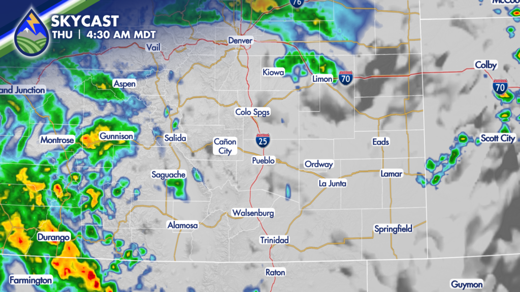
We’re in an active few days of weather as monsoon moisture continues streaming north from the Southwest. Clouds have been building over the mountains through Wednesday, and thunderstorms are expected to become more numerous this evening and overnight as a wave lifts north from New Mexico and Arizona.
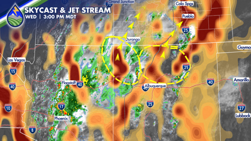
The best storm coverage tonight will be across the mountains, including the Sangre de Cristo Range, the Wet Mountains, the eastern San Juans, and areas along and west of the Continental Divide. Storms will also be possible over the plains. For Colorado Springs, the Tri-Lakes area, Fountain, Pueblo, Pueblo West, and nearby communities, some of the better chances may come after dinner as activity moves north out of New Mexico and off the higher terrain.
For tonight, keep an eye on radar if you have evening plans. Storms may become more widespread over the higher terrain first, then work into portions of the plains later in the evening. If you are in Colorado Springs, Pueblo, Trinidad, La Junta, Eads, or surrounding communities, have a backup plan for outdoor activities. Any storm is dangerous due to lightning and you should head inside if you can hear thunder. Remember, when thunder roars, go indoors!
The main concern with any stronger storm will be bursts of moderate to heavy rain. That is especially important near area burn scars, where it does not take much rain in a short amount of time to create runoff concerns. Brief gusty winds and lightning will also accompany thunderstorms.
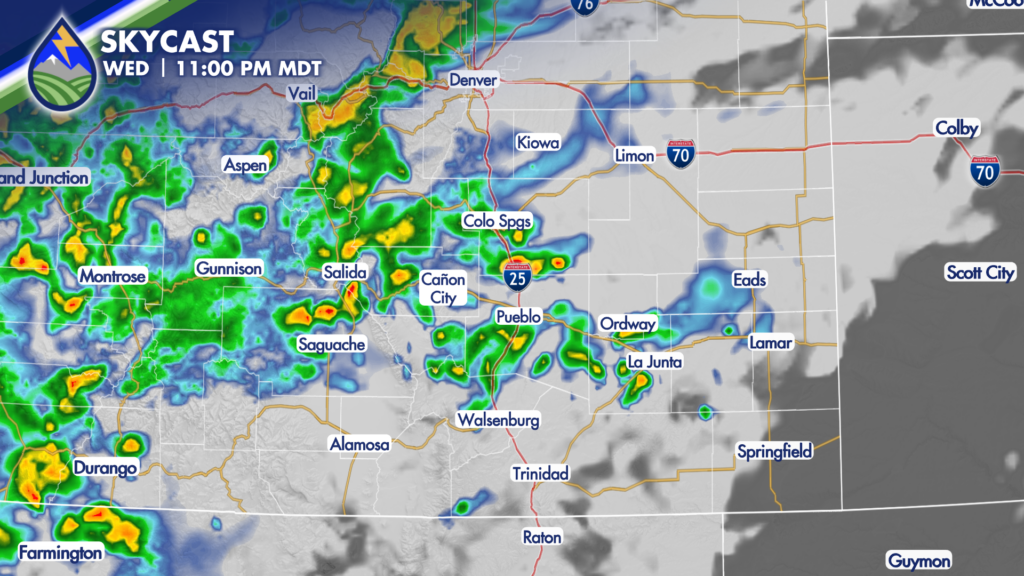
Showers and thunderstorms may linger into the early hours of Thursday before the first wave gradually lifts north. A second wave moving in from the southwest may help keep showers going over the mountains in the morning, then bring another round of afternoon and evening storms to parts of Southern Colorado.