Blog
Severe Storms Possible Thursday
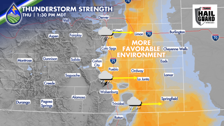
SEVERE STORMS POSSIBLE THURSDAY Warmer afternoon temps, an approaching wave from the northwest, and abundant low-level moisture will combine to support strong to severe thunderstorms








SEVERE STORMS POSSIBLE THURSDAY Warmer afternoon temps, an approaching wave from the northwest, and abundant low-level moisture will combine to support strong to severe thunderstorms
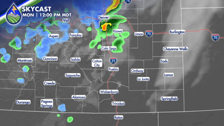
SHOWERS/STORMS MOVING NORTHEAST Showers and thunderstorms on the western slope Monday morning will move to the northeast today. Here’s what to know: SAN LUIS
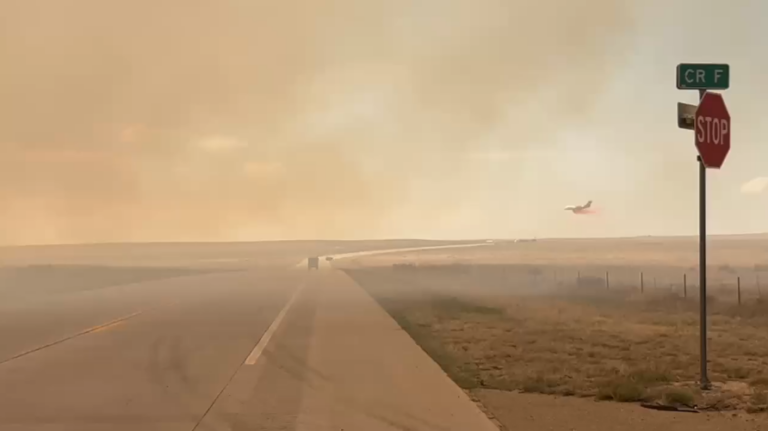
FIRE NEAR CAMPO: An Interview in Town I worked with Jonathan Petramala in the late 2000s and he’s had an incredible career after his time
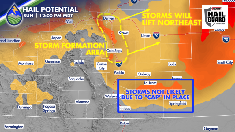
HAIL POSSIBLE WITH SUNDAY’S STORMS Behind the morning cold front, surface moisture is higher than what it was on Saturday – that’s more fuel for
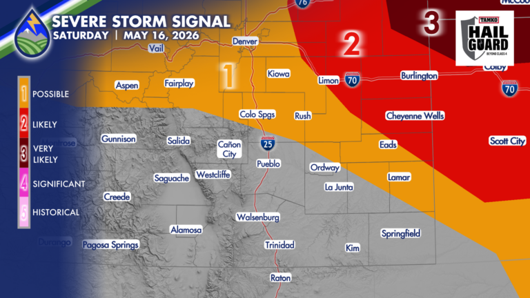
GUSTY THUNDERSTORMS Southwest flow off the mountains dry the lower atmosphere out today. For areas where we can hang on to dewpoint temperatures in the
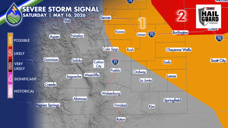
FRIDAY We start watching the western edge of low-level moisture the next few days as there are some non-zero chances of severe storms over parts

We’ve got another late season storm set to cruise through. This one is colder than the last one…I’ve got a Chinese Elm in my yard
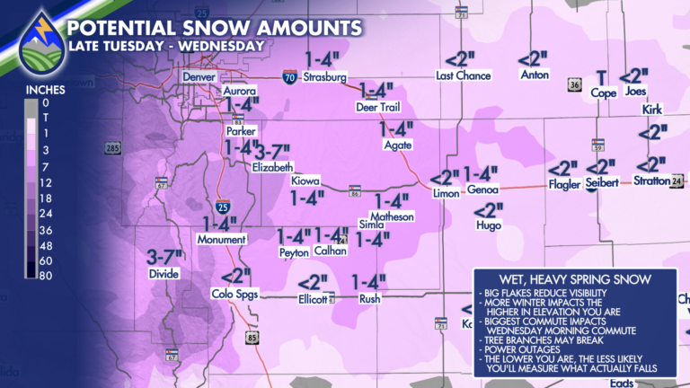
HOW MUCH SNOW?: Tell me…for real! This one is HARD – especially between 6,000′-8,000′. Take one thing from this…what falls and what you measure are

POTENTIAL SNOW AMOUNTS Late in the season these things get “fun” to try and figure out because there are so many variables. Know this –

WIDESPREAD WATER The system coming in from the north for Wednesday night and Thursday and another system passing to our south on Friday combine with