Blog
To Watch This Week: The Start of Thunderstorm Season
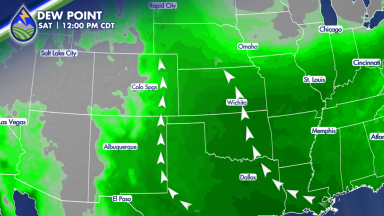
We’re heading into a stretch where the pattern finally starts to shift—and it’s going to matter for how the rest of the week and weekend








We’re heading into a stretch where the pattern finally starts to shift—and it’s going to matter for how the rest of the week and weekend
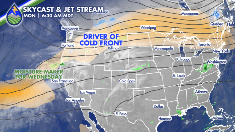
Ahead of the Front: Monday’s Warmth and Fire Danger Monday is all about what’s happening ahead of the cold front—and it still looks and feels
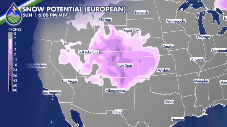
While there is some uncertainty (models will always have this a week or more out) as you can see the European and American models for
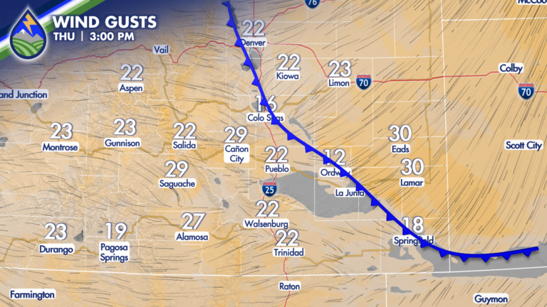
The front keeps pushing west this evening and temperatures will continue to drop….we’ll maintain an outside chance of a gusty type thunderstorm for the next
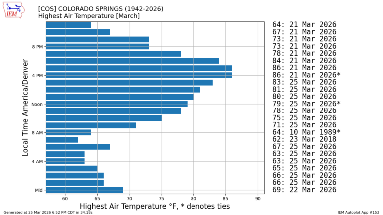
Nearly every hourly March heat record in Colorado Springs… just happened this week! This has truly been historical warmth…if you remember I showed you this
24 FIRE: Just did 20 minutes of live coverage to talk about the visible flare up and to share straight from the fire line what’s
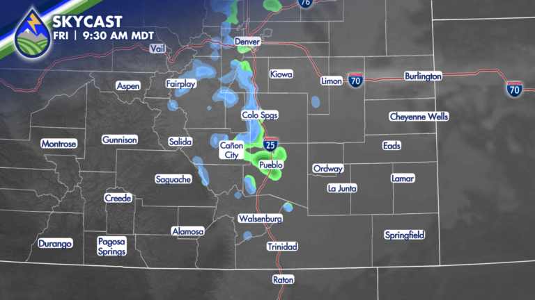
HUGE CHANGE! We’re going to go from records and fire danger Thursday to 40° degrees colder Friday east of the mountains. We’ll get cooler over
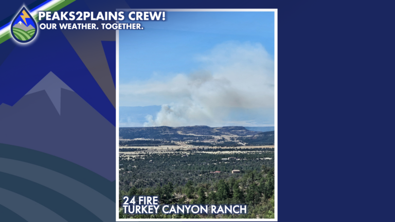
24 FIRE UPDATE, FRIDAY 1:45PM: The fire is now more than 1,000 acres. A diffuse plume is visible as of this writing, but the characteristics
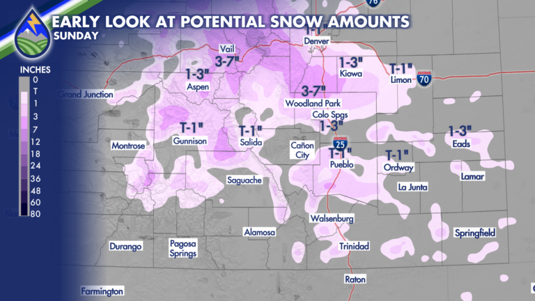
A strong cold-front will be pushed through Colorado by a jet-streak early Sunday morning to bring huge changes to the area for the back half
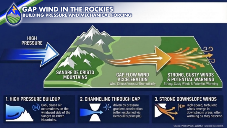
I’ve used this term quite a bit over the last couple of weeks in my forecasts so I thought I’d give you a little explainer