Blog
Drier Stretch Mid-Week: Monsoon Makes Mountain Return For Labor Day Weekend
Southern Colorado gets a quieter stretch to start the extended forecast, with drier desert air settling in behind a passing wave Wednesday and Thursday. If








Southern Colorado gets a quieter stretch to start the extended forecast, with drier desert air settling in behind a passing wave Wednesday and Thursday. If
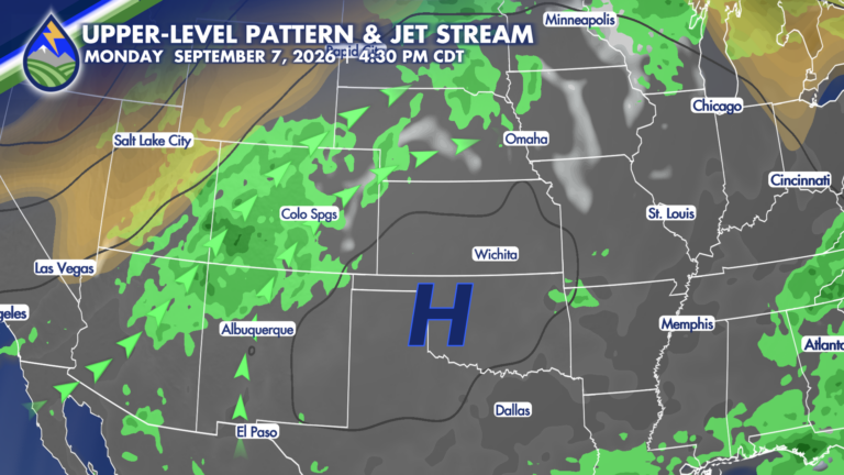
As moisture continues to steam into the state, storm chances will be continually increasing! With an abundance of moisture and some atmospheric energy propagating through
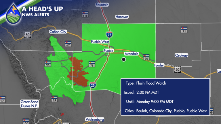
After another active afternoon and evening across Southern Colorado, Monday looks like a rinse-and-repeat kind of day. We will start the work week dry, warm,
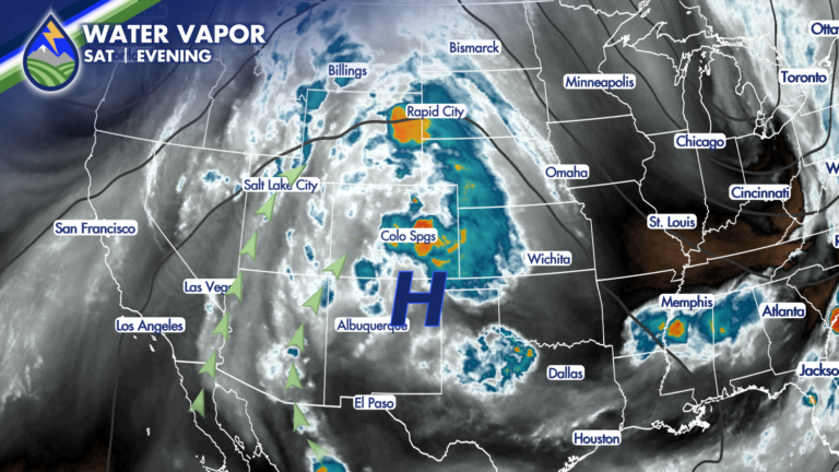
We are looking at a lot of the same ingredients that brought late-day storms to parts of the region Saturday, including some very heavy rain
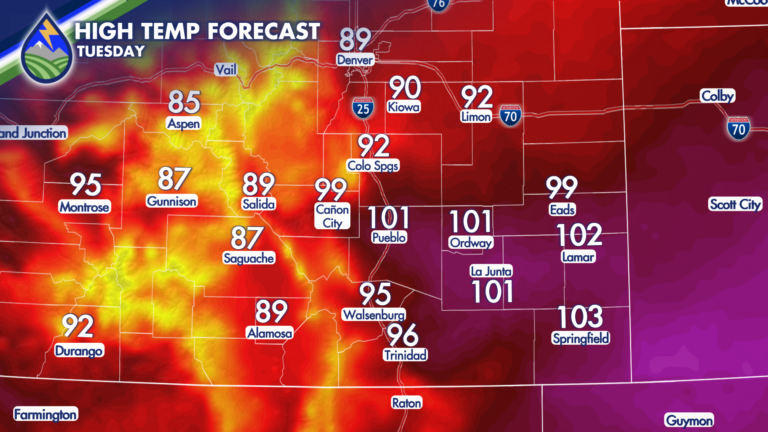
As high pressure builds overhead, temperatures are expected to climb on Tuesday! Along and east of I-25, highs in the 90s and 100s are expected.
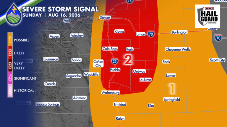
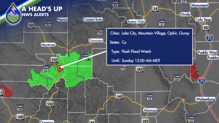
SEVERE STORMS SUNDAY Sunday afternoon and evening will bring another active round of thunderstorms. The large-scale pattern is shifting the better focus south and
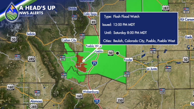
High pressure situated to our southeast is expected to continue ushering in monsoonal moisture, setting the stage for yet another afternoon of heavy rain-producing storms.
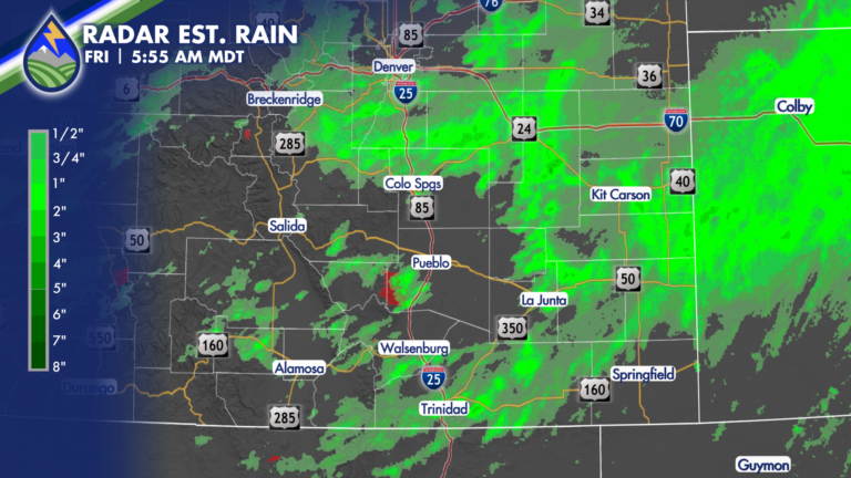
HEAVY RAIN Thursday brought a number of areas with between 1-2.5″ of rain under afternoon and evening storms. If you had heavy rain yesterday and
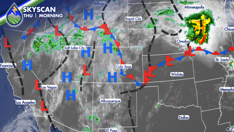
CHANGES ARE HERE Clouds this morning signal changes to our hot weather of the last week and a half. An overnight cold front and the
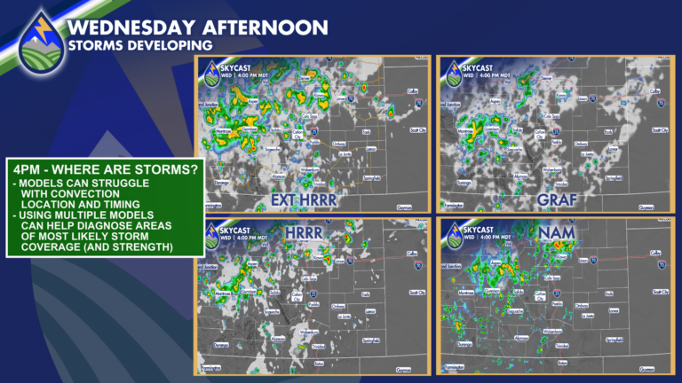
WEDNESDAY AFTERNOON Clouds over the area this morning are one indication of the mid-level increase in water from the monsoon. Clouds are starting to build