
Blog
Baseball-sized Hail Both Weekend Days
Large hail impacted the eastern-most counties of Colorado over the weekend as both Saturday and Sunday brought some baseball sized reports, and a number of








Large hail impacted the eastern-most counties of Colorado over the weekend as both Saturday and Sunday brought some baseball sized reports, and a number of
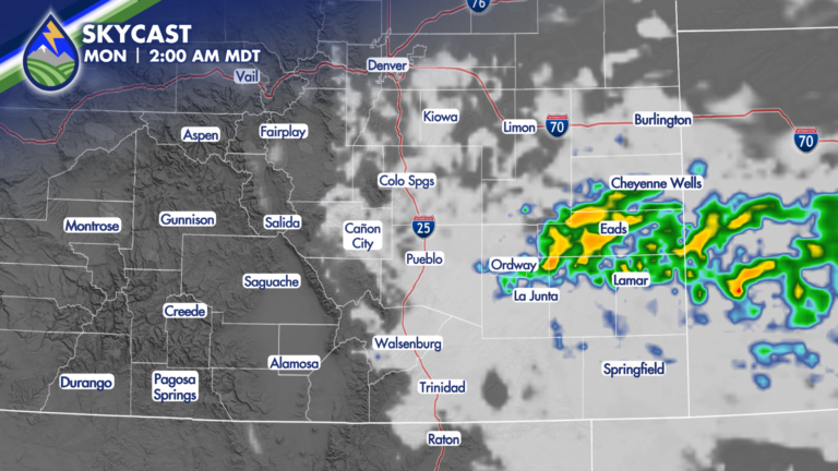
The potential for storms will linger overnight and through early Monday morning thanks to a cold front. Winds will kick up as the front moves
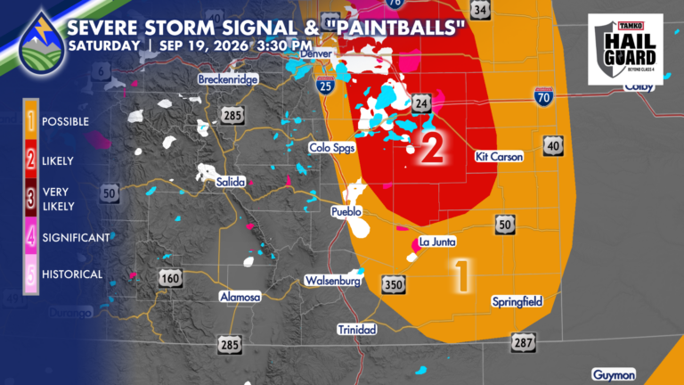
Southern Colorado has an interesting weekend ahead, with thunderstorms possible both days and the stronger storms likely over the eastern plains Saturday. The setup brings
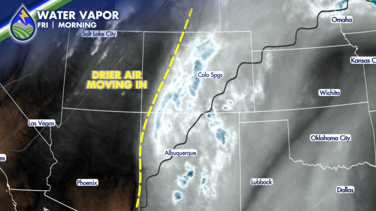
Drying Trend in The Mountains Mountain temperatures may run a degree or two warmer than yesterday as some drier air begins working in from the

OUR WEATHER. TOGETHER: Late night large hail makers in Colorado City and just to the west of Haswell over the plains. Storms blew up about

A cold front is moving south across Southern Colorado today, bringing a noticeable change for the plains while monsoon moisture continues to fuel showers and
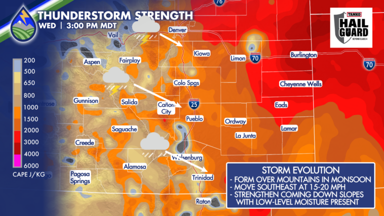
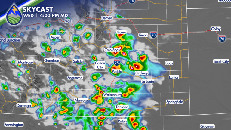
Storms will begin developing over the mountains during the afternoon in the monsoon. As they move off the higher terrain and into the eastern slopes,
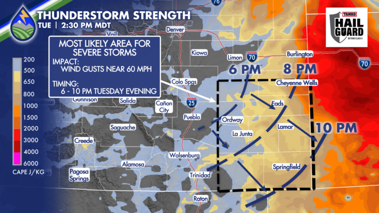
SEVERE STORMS POSSIBLE While we can’t rule out a storm that brings downdraft wind near 60mph against the Interstate or adjacent plains in the late
COOLDOWN A brief cool down of about ten degrees today east of the mountains. Enjoy it because it doesn’t last long…we bump back up
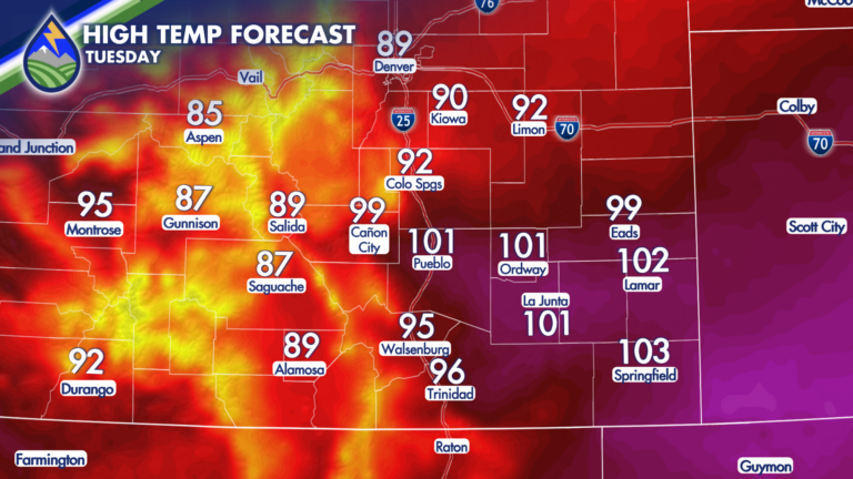
As high pressure builds overhead, temperatures are expected to climb on Tuesday! Along and east of I-25, highs in the 90s and 100s are expected.