Climate
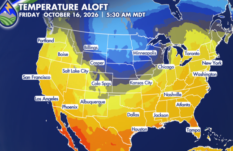
Warm Through Monday, Then a Sharp Cooldown and Possible First Freeze for Some Late Week
Monday will be our last notably warm day before a much cooler pattern settles in. Highs are expected to reach the upper 70s around El








Monday will be our last notably warm day before a much cooler pattern settles in. Highs are expected to reach the upper 70s around El
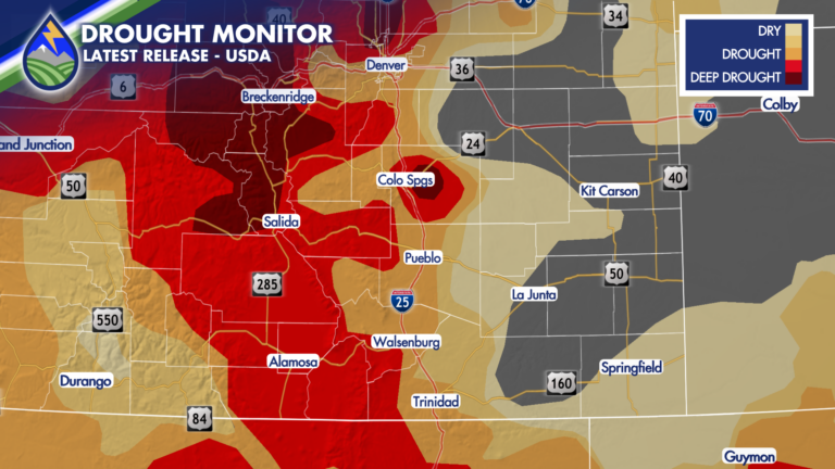
Thanks to recent heavy rain, drought conditions are slowly improving for portions of Colorado! In comparison to last week when about 91% of the state
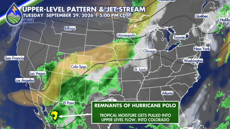
So, about next week… An upper low will begin moving across the west coast and into the Great Basin late Sunday and into Monday. This
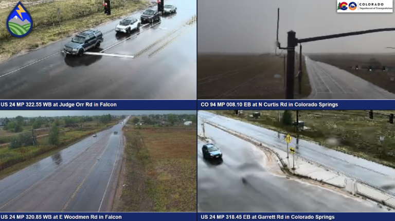
An upper-level low moved from the desert southwest and across Colorado late Friday, helping to initiate a round of afternoon and evening storms. Severe storms
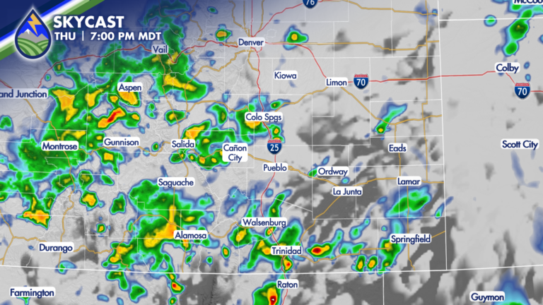
After an upper-level wave moved through Wednesday night spreading rain across the region. By the time most of the showers ended Thursday morning, many areas
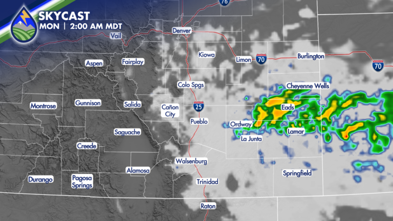
The potential for storms will linger overnight and through early Monday morning thanks to a cold front. Winds will kick up as the front moves
A string upper-level disturbances will impact Colorado through the weekend, bringing round after round of heavy rain-producing storms. As moisture increases overhead, thanks to high
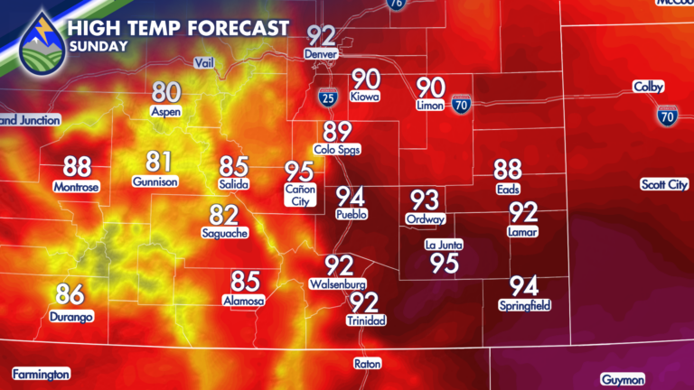
Temperatures on Saturday were 10 to 20 degrees cooler for many areas, in comparison to Friday’s high temperatures. This is thanks to a cold front