Forecast
Tropical System Remnants in Colorado Late Week?
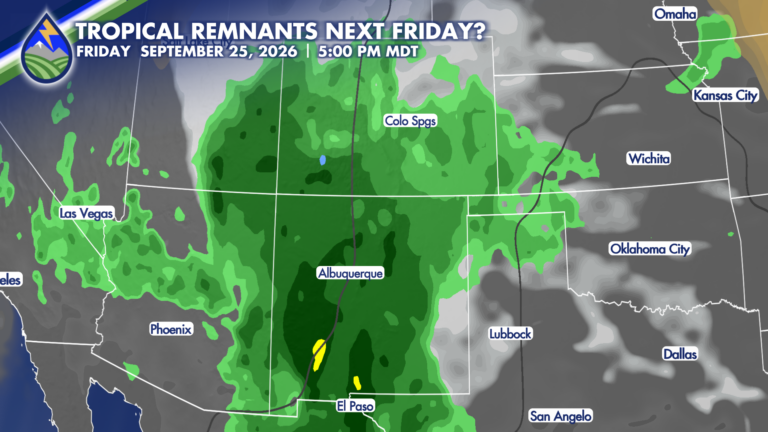
Tracking the Tropics I know it’s a ways out, but this is worth watching. I’m seeing increasing potential that the remnants of a tropical system








Tracking the Tropics I know it’s a ways out, but this is worth watching. I’m seeing increasing potential that the remnants of a tropical system
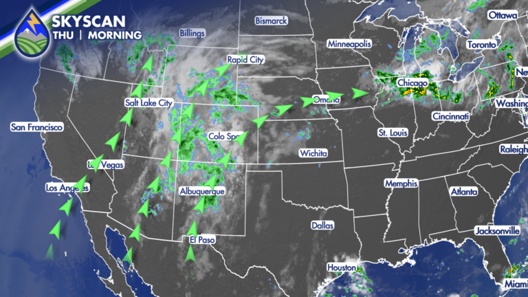
Southern Colorado will stay in a moist southwest flow today, with clouds, a few breaks of sun, and another round of showers and thunderstorms. The
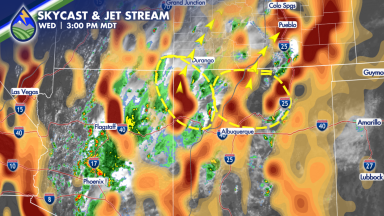
We’re in an active few days of weather as monsoon moisture continues streaming north from the Southwest. Clouds have been building over the mountains through
A string upper-level disturbances will impact Colorado through the weekend, bringing round after round of heavy rain-producing storms. As moisture increases overhead, thanks to high
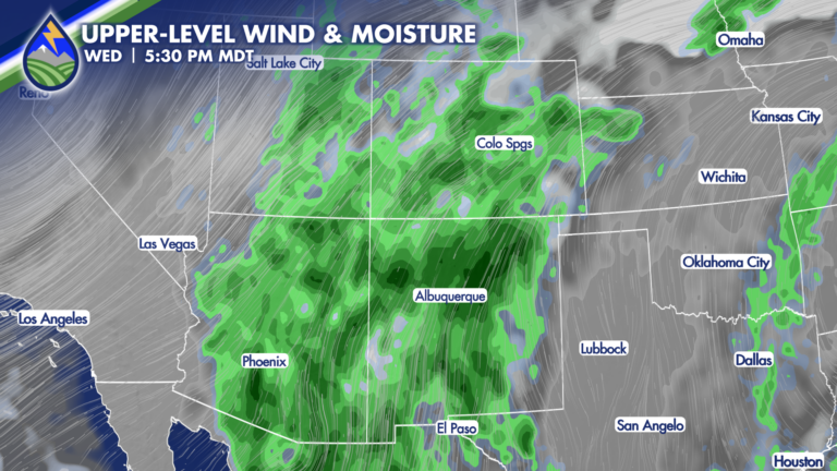
The most widespread storm days of the week will be Wednesday and Thursday, especially across the mountains. A Pacific Northwest low and high pressure to

A cold front is moving south across Southern Colorado today, bringing a noticeable change for the plains while monsoon moisture continues to fuel showers and
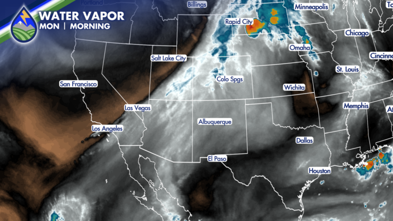
Labor Day is bringing a change across Southern Colorado. It will still be warm to hot this afternoon, but moisture increasing from the southwest will
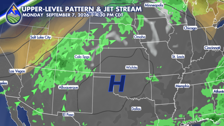
Southern Colorado gets a quieter stretch to start the extended forecast, with drier desert air settling in behind a passing wave Wednesday and Thursday. If
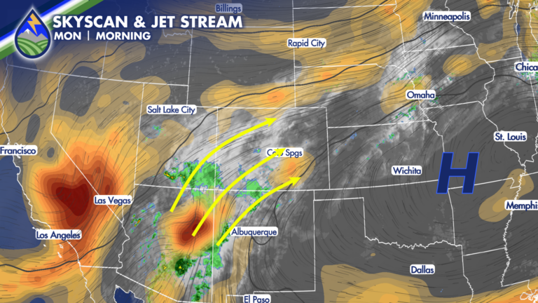
There’s moisture in the mid-levels still coming from the southwest in the monsoon plume. There’s moisture is a well defined wave near Payson, Arizona (the
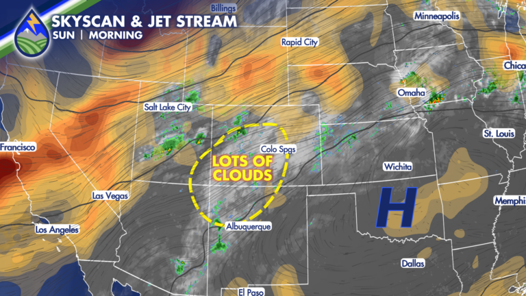
SUNDAY STORMS: A little bit better chance of storms during the day to wrap up the weekend compared to Saturday – and our dewpoint temperatures