Blog
Mid-Week Storm Chances Increase, Especially Mountains
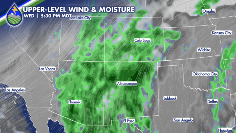
The most widespread storm days of the week will be Wednesday and Thursday, especially across the mountains. A Pacific Northwest low and high pressure to








The most widespread storm days of the week will be Wednesday and Thursday, especially across the mountains. A Pacific Northwest low and high pressure to
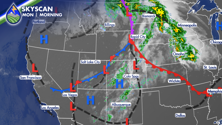
SETTING THE STAGE Are you ready for some changes? a cold front brings a noticeably different feel by Tuesday. Moisture is also increasing from the
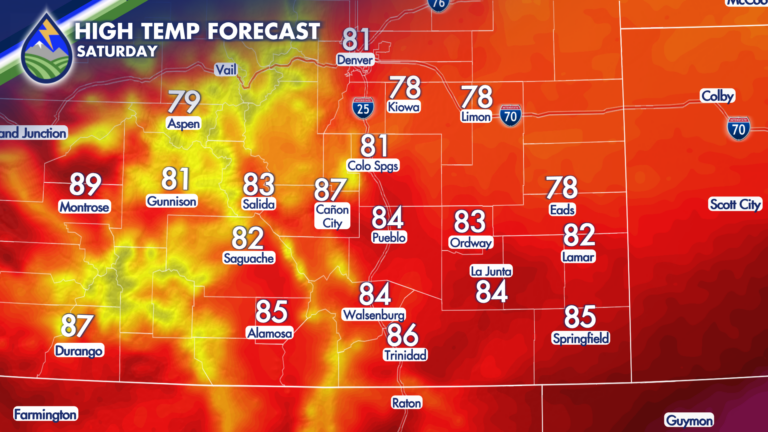
A weak cold front is moving through Friday night that will help to keep temperatures on Saturday a few degrees cooler. While a touch cooler,

A cold front is moving south across Southern Colorado today, bringing a noticeable change for the plains while monsoon moisture continues to fuel showers and
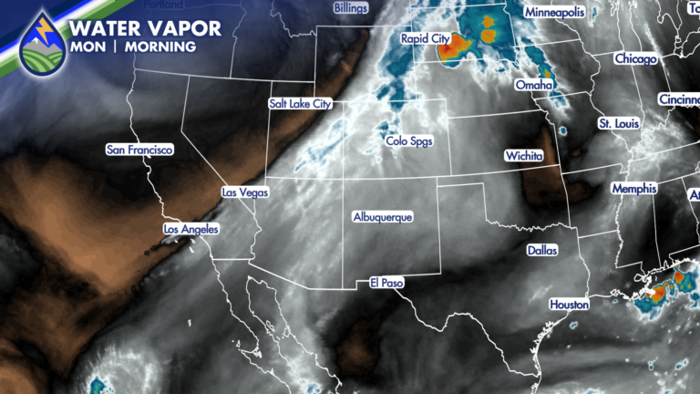
Labor Day is bringing a change across Southern Colorado. It will still be warm to hot this afternoon, but moisture increasing from the southwest will
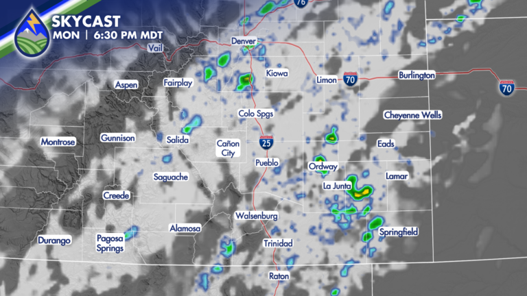
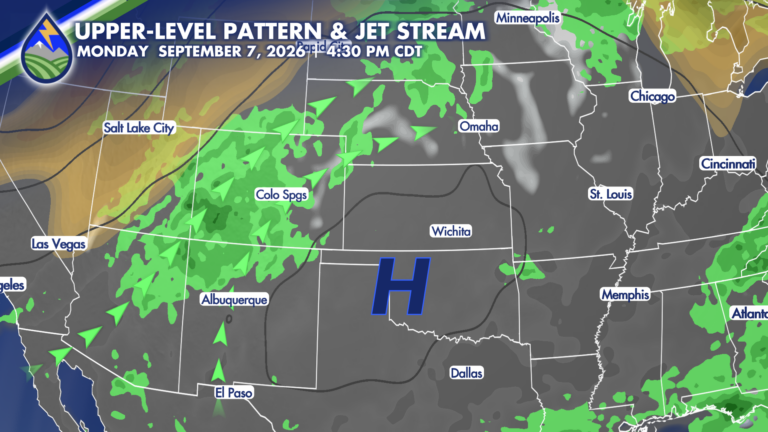
High-pressure is expected to shift southeastward, which will allow the plume of monsoonal moisture to center itself over Colorado beginning on Labor Day. The increase
Southern Colorado gets a quieter stretch to start the extended forecast, with drier desert air settling in behind a passing wave Wednesday and Thursday. If
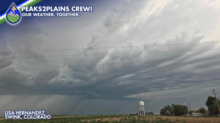
The combination of monsoonal moisture, instability and enough shear in the atmosphere led to an active afternoon of storms across the Eastern Plains! Storms initiated
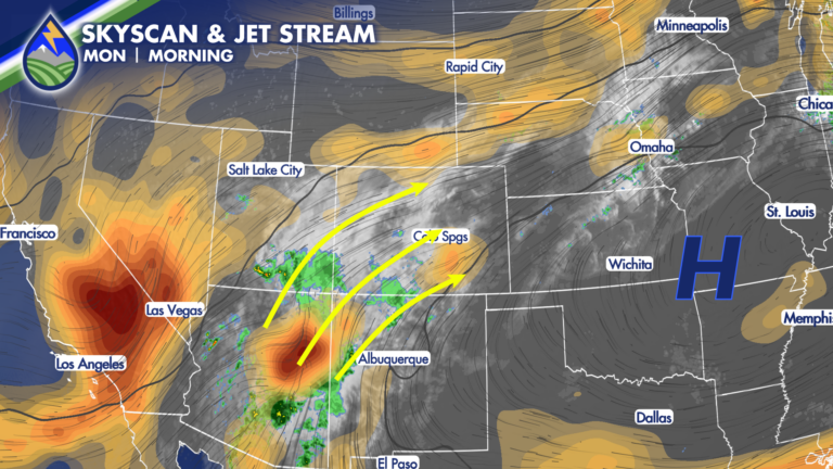
There’s moisture in the mid-levels still coming from the southwest in the monsoon plume. There’s moisture is a well defined wave near Payson, Arizona (the
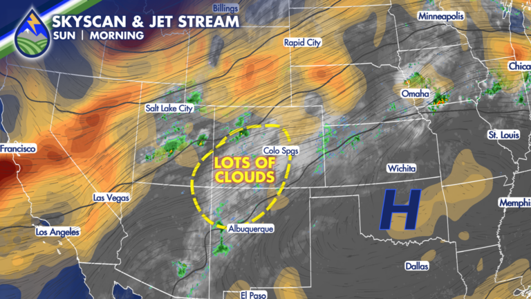
SUNDAY STORMS: A little bit better chance of storms during the day to wrap up the weekend compared to Saturday – and our dewpoint temperatures