Forecast
Hot Saturday, Then Cooler By Monday!
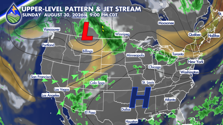
While it won’t be record-breaking, it is going to get HOT on Saturday! A combination of an upper-level low passing across the northern Rockies and








While it won’t be record-breaking, it is going to get HOT on Saturday! A combination of an upper-level low passing across the northern Rockies and
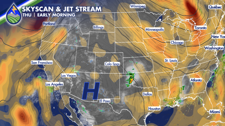
Thursday starts off beautifully across Southern Colorado, but we’ll be watching the sky again this afternoon and evening as thunderstorms develop around the mountains and
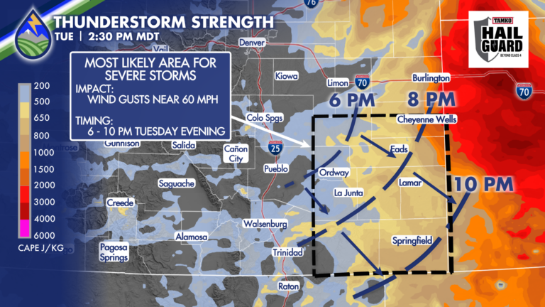
SEVERE STORMS POSSIBLE While we can’t rule out a storm that brings downdraft wind near 60mph against the Interstate or adjacent plains in the late
Monday brings another round of afternoon and evening thunderstorms across Southern Colorado, following several days in which some neighborhoods have picked up more than an
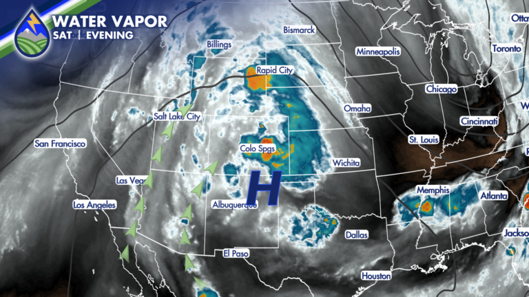
We are looking at a lot of the same ingredients that brought late-day storms to parts of the region Saturday, including some very heavy rain
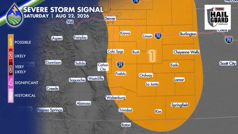
Overnight, winds will shift to be out of the east which will increase low-level moisture. With more moisture to work with, an uptick in storm
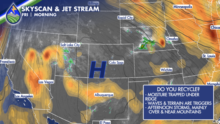
Friday is bringing another hot one to Southern Colorado, with temperatures running close to record levels in Colorado Springs, Pueblo, and parts of the eastern
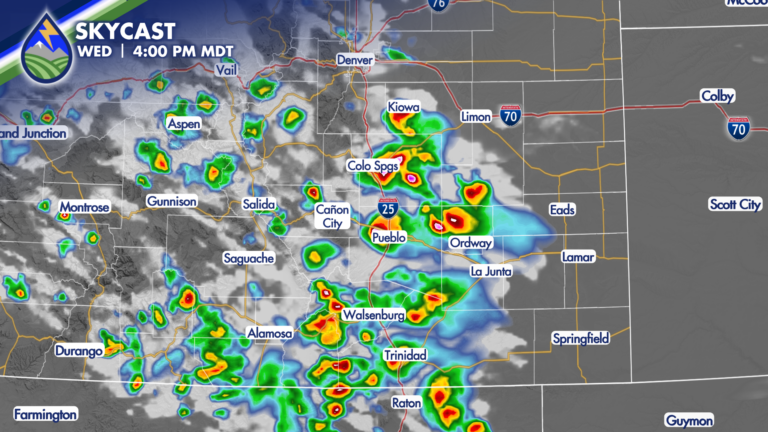
COOLDOWN A brief cool down of about ten degrees today east of the mountains. Enjoy it because it doesn’t last long…we bump back up
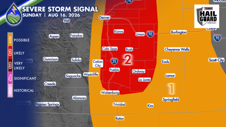
SEVERE STORMS SUNDAY Sunday afternoon and evening will bring another active round of thunderstorms. The large-scale pattern is shifting the better focus south and
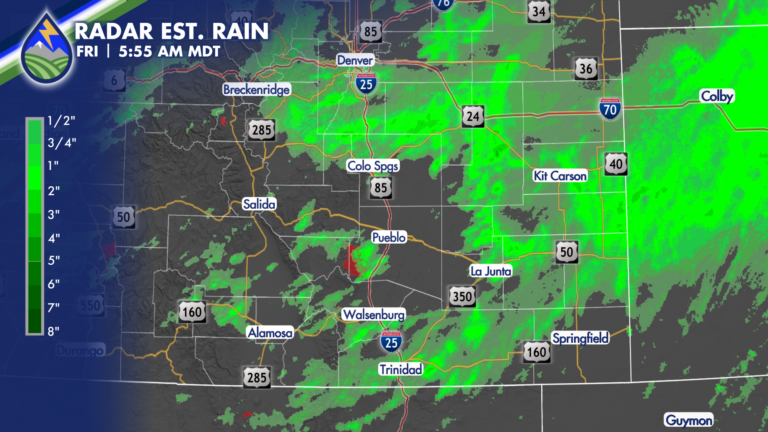
HEAVY RAIN Thursday brought a number of areas with between 1-2.5″ of rain under afternoon and evening storms. If you had heavy rain yesterday and