Blog
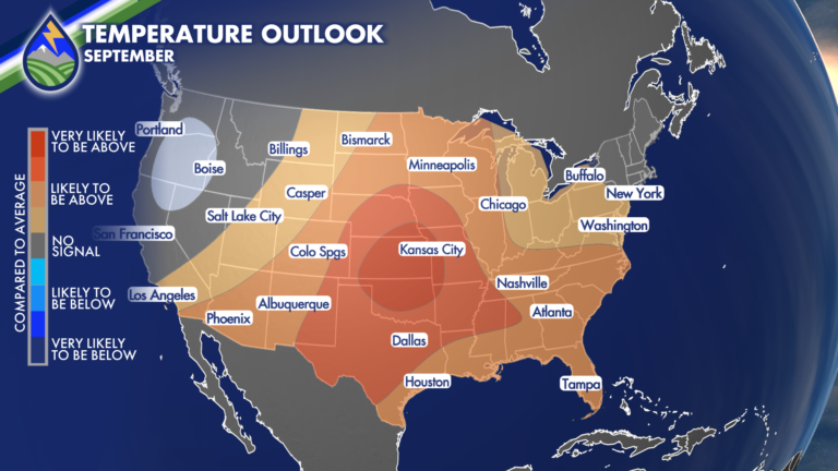
Summer Was Hot, September May End Up Being Hot Too!
As summer has come to an end, it’s time to reflect… Summer 2026 tied with Summer of 2020 in Colorado Springs as the 3rd Hottest








As summer has come to an end, it’s time to reflect… Summer 2026 tied with Summer of 2020 in Colorado Springs as the 3rd Hottest
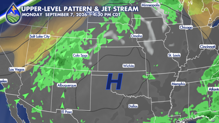
Southern Colorado gets a quieter stretch to start the extended forecast, with drier desert air settling in behind a passing wave Wednesday and Thursday. If
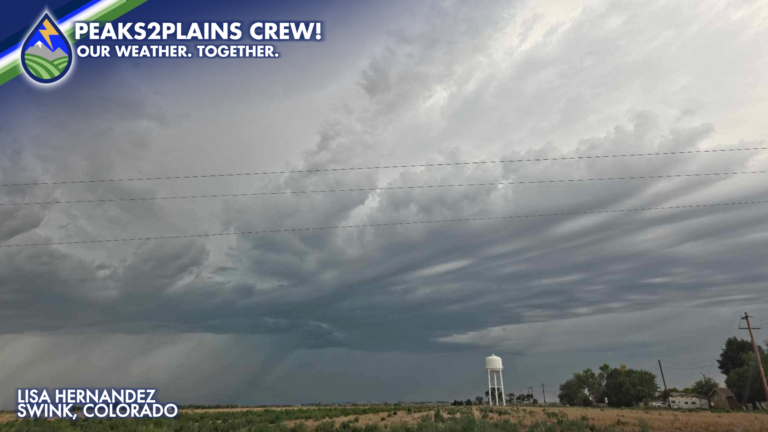
The combination of monsoonal moisture, instability and enough shear in the atmosphere led to an active afternoon of storms across the Eastern Plains! Storms initiated
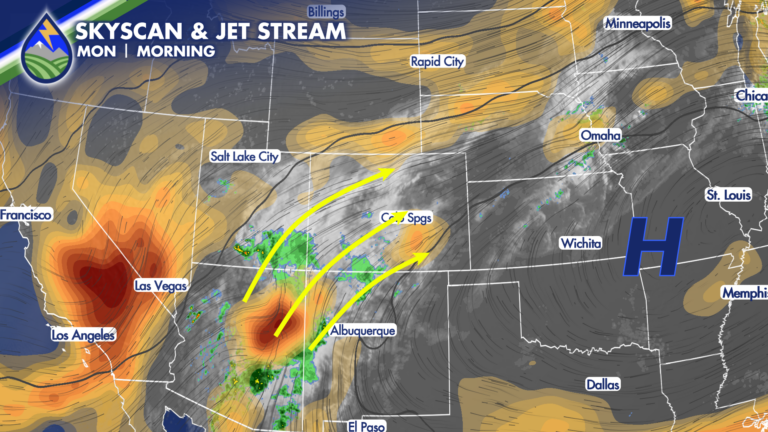
There’s moisture in the mid-levels still coming from the southwest in the monsoon plume. There’s moisture is a well defined wave near Payson, Arizona (the
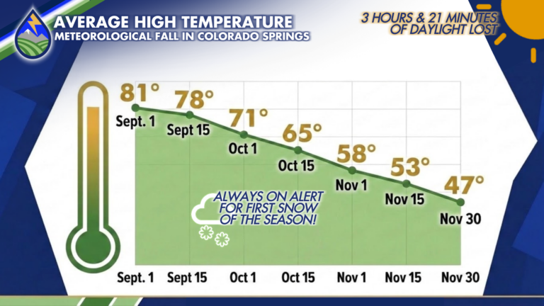
On Average A season of transition from summer to winter can bring some of the best weather of the year to Colorado. Meteorological fall runs
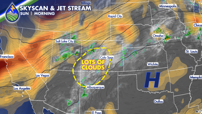
SUNDAY STORMS: A little bit better chance of storms during the day to wrap up the weekend compared to Saturday – and our dewpoint temperatures
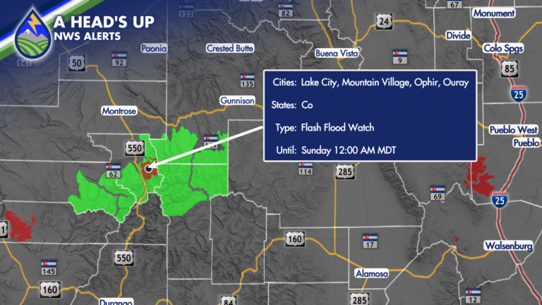
As moisture continues to steam into the state, storm chances will be continually increasing! With an abundance of moisture and some atmospheric energy propagating through
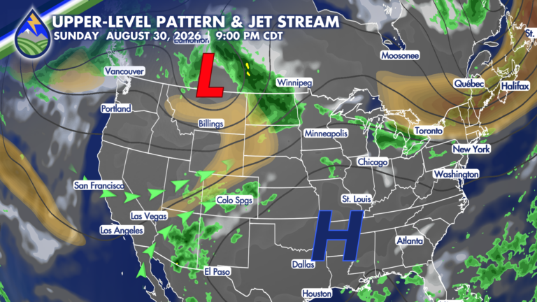
While it won’t be record-breaking, it is going to get HOT on Saturday! A combination of an upper-level low passing across the northern Rockies and
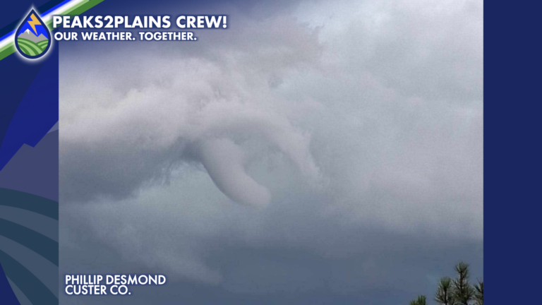
Strong storms started developing around Southern Colorado Thursday afternoon, one of which produced a confirmed tornado around 3:55PM in eastern Custer County! The strong storm
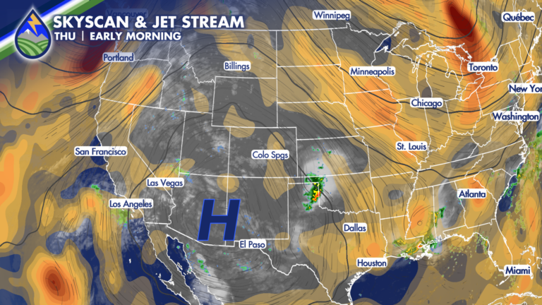
Thursday starts off beautifully across Southern Colorado, but we’ll be watching the sky again this afternoon and evening as thunderstorms develop around the mountains and