Forecast
First “Real” Mountain Snow Possible Early Next Week
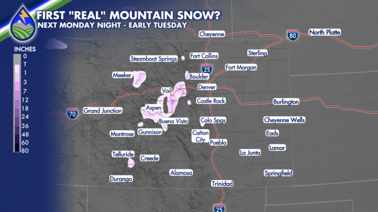
FIRST “REAL” MOUNTAIN SNOW? It probably wouldn’t be too much, but while we’ve had a dusting up top in a few spots over the last








FIRST “REAL” MOUNTAIN SNOW? It probably wouldn’t be too much, but while we’ve had a dusting up top in a few spots over the last
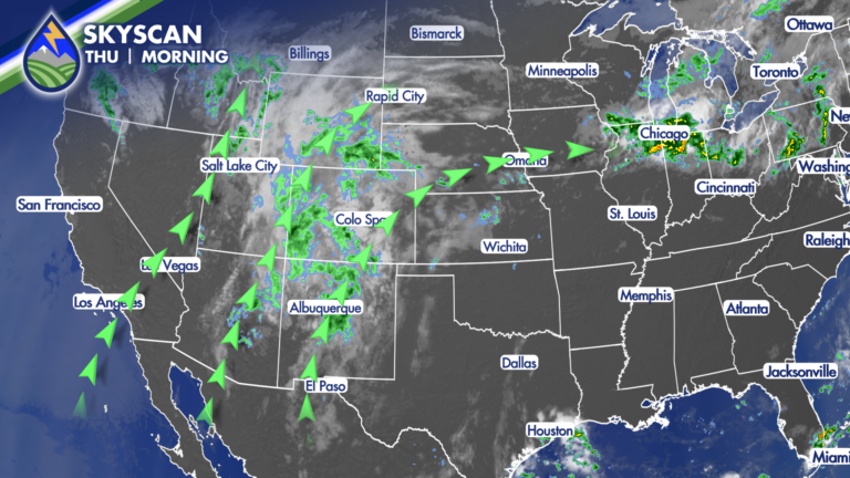
Southern Colorado will stay in a moist southwest flow today, with clouds, a few breaks of sun, and another round of showers and thunderstorms. The
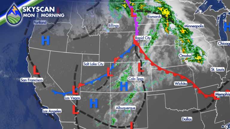
SETTING THE STAGE Are you ready for some changes? a cold front brings a noticeably different feel by Tuesday. Moisture is also increasing from the
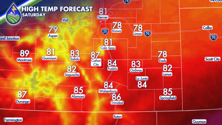
A weak cold front is moving through Friday night that will help to keep temperatures on Saturday a few degrees cooler. While a touch cooler,
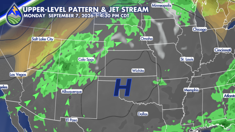
High-pressure is expected to shift southeastward, which will allow the plume of monsoonal moisture to center itself over Colorado beginning on Labor Day. The increase
Southern Colorado gets a quieter stretch to start the extended forecast, with drier desert air settling in behind a passing wave Wednesday and Thursday. If
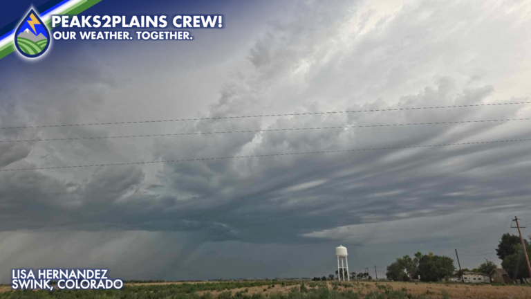
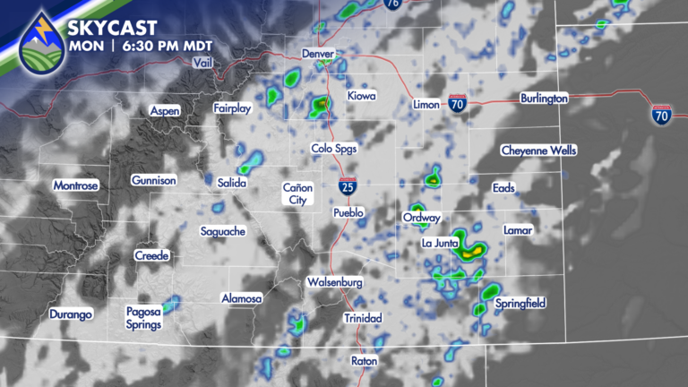
The combination of monsoonal moisture, instability and enough shear in the atmosphere led to an active afternoon of storms across the Eastern Plains! Storms initiated
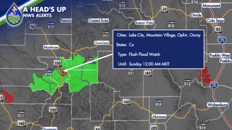
As moisture continues to steam into the state, storm chances will be continually increasing! With an abundance of moisture and some atmospheric energy propagating through
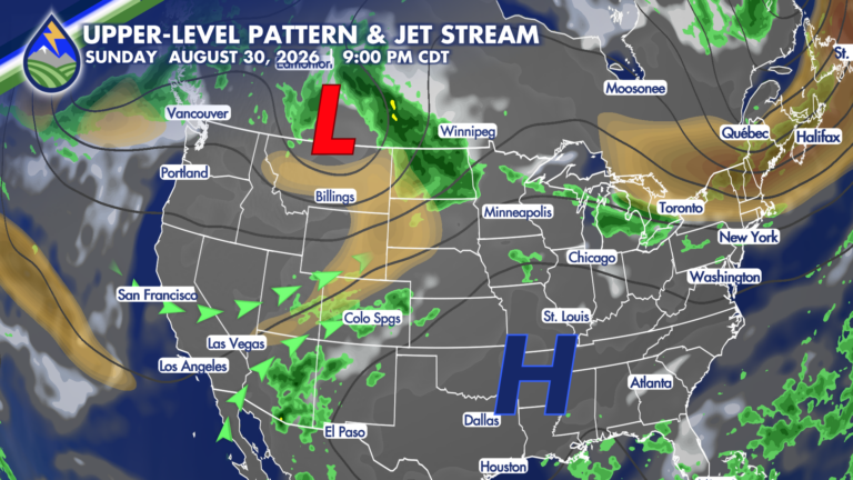
While it won’t be record-breaking, it is going to get HOT on Saturday! A combination of an upper-level low passing across the northern Rockies and
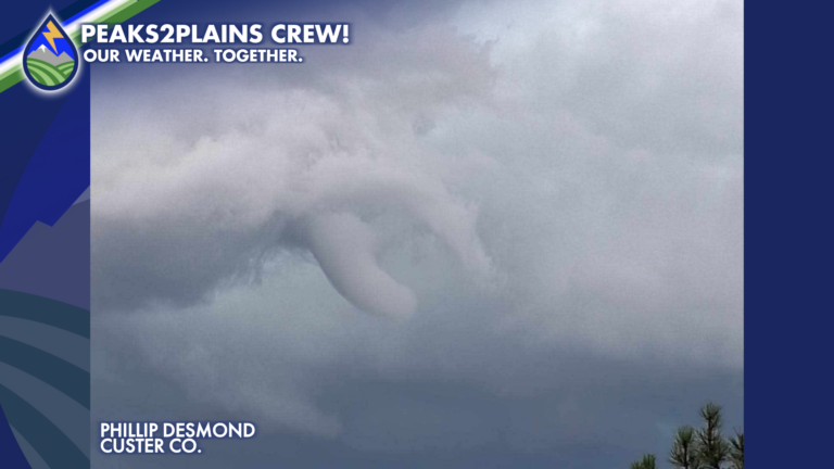
Strong storms started developing around Southern Colorado Thursday afternoon, one of which produced a confirmed tornado around 3:55PM in eastern Custer County! The strong storm